print, engraving
#
baroque
#
dutch-golden-age
# print
#
cityscape
#
engraving
Dimensions: height 241 mm, width 278 mm
Copyright: Rijks Museum: Open Domain
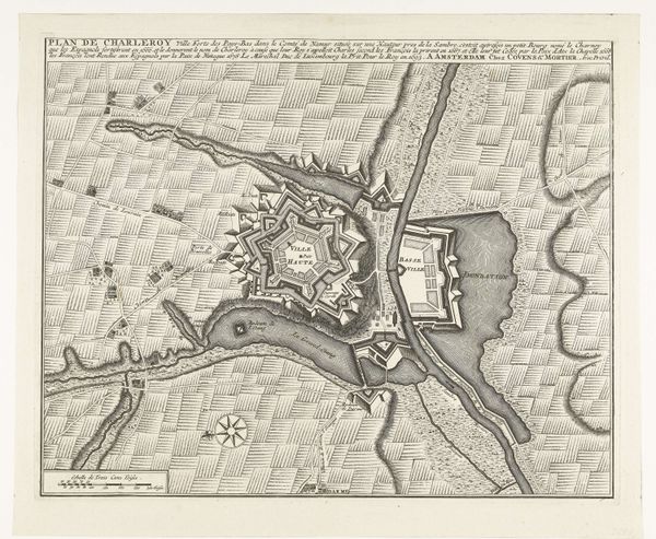
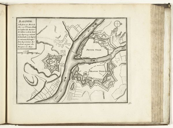
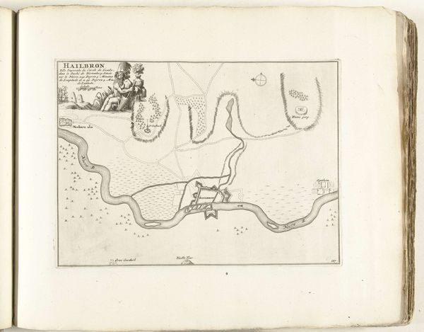
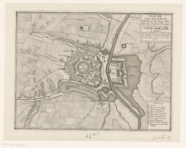
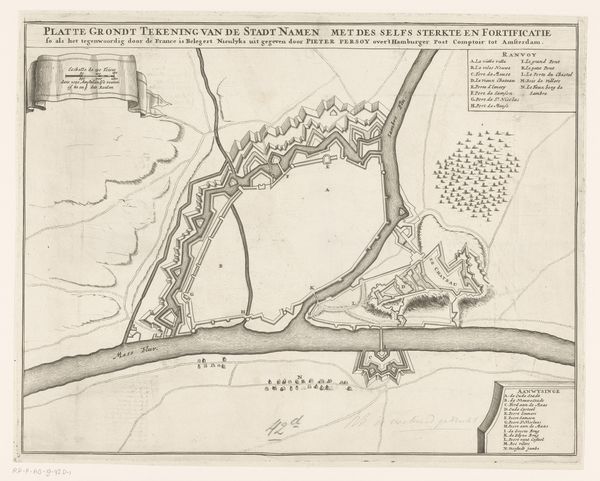
This detailed map of Koblenz, etched by Abraham Allard around the late 17th to early 18th century, presents a fascinating interplay of lines and forms. The composition is dominated by the rivers, their curving lines directing the viewer's eye, while the precise, geometric shapes of the fortifications create a stark contrast. This tension embodies the intersection of nature and human intervention. The map isn't just a visual representation of space, but a semiotic system reflecting power and control. The detailed rendering of the fortresses and urban layout underscores the strategic importance of Koblenz, a key site of military and political contestation. The use of different line weights and textures effectively communicates the diverse terrain, from the flowing rivers to the densely wooded areas. The seemingly objective rendering of space destabilizes fixed meanings, suggesting a landscape constantly reshaped by human ambitions and conflicts. It serves not merely as a geographical record but as a cultural document, deeply embedded in the historical and philosophical discourses of its time.
Comments
No comments
Be the first to comment and join the conversation on the ultimate creative platform.
More like this