1695 - 1697
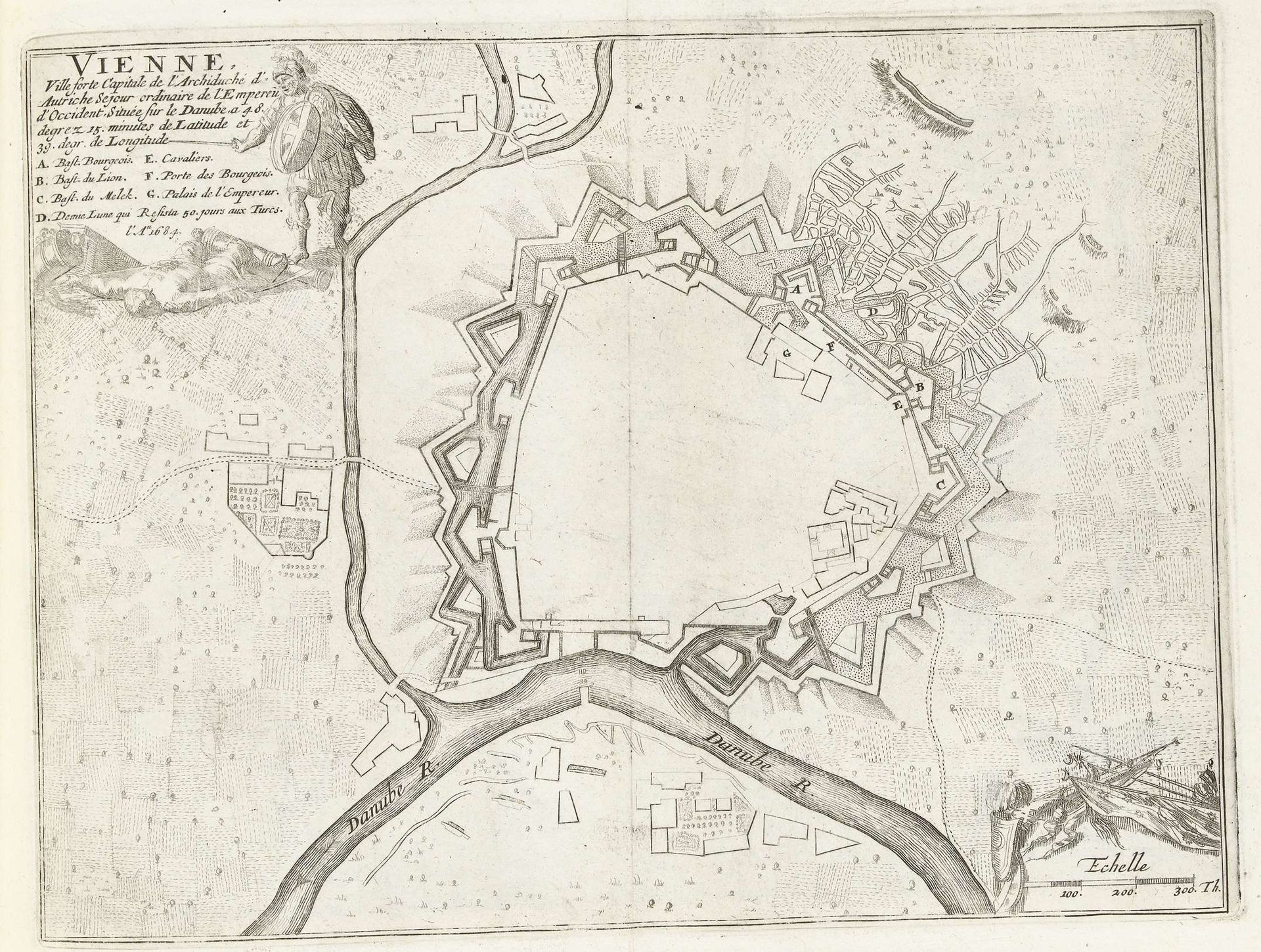
Plattegrond van Wenen, ca. 1695
Anonymous
@anonymousLocation
RijksmuseumListen to curator's interpretation
Curatorial notes
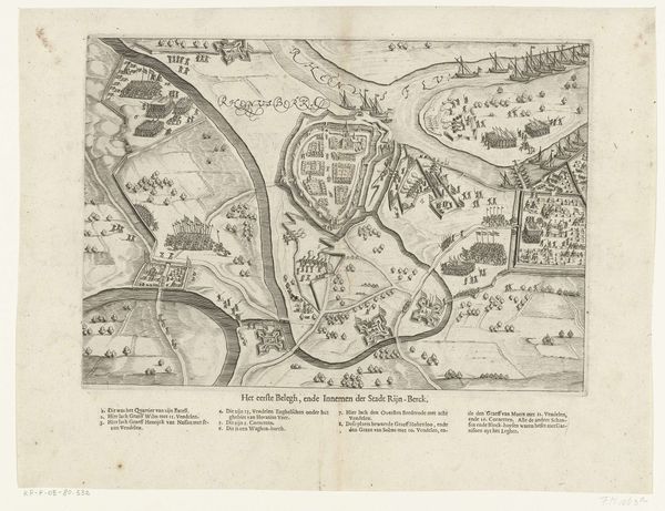
Editor: This is a detailed city plan called "Plattegrond van Wenen," dating from around 1695. It's an engraving, showing Vienna and its fortifications. I’m immediately struck by the way the city is enclosed, almost besieged. What symbolic readings can you find in this map? Curator: The fortifications themselves are deeply symbolic. Note how the city’s layout evokes a sense of controlled space and power radiating outward, an emblem of Habsburg authority. Look, too, at the river: water is often symbolic of life, movement, and even purification, but here, it seems carefully managed, channeled to serve the city’s strategic needs. It makes me think about control of resources, control of destiny. Editor: So, it’s not just a map, but a statement? Curator: Precisely. The choice of vantage point, the precise rendering, the inclusion of the scale—they reinforce the idea of a known, mastered world. Note also how religious iconography is almost totally absent here, compared to older cityscapes, which I read as an echo of Vienna becoming a more secular, bureaucratic center. Does that shift resonate with your understanding of the Baroque era? Editor: Definitely, this gives me a new perspective on city maps. I never thought about them being more than just geographic representations, with social statements intertwined within their artistic presentation! Curator: It's like reading a coded message about anxieties of the time – safety versus openness, power versus vulnerability. Hopefully now we have the cultural keys to unlocking some of those coded messages.