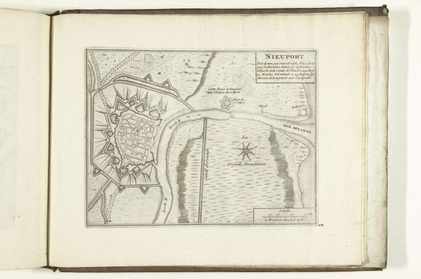
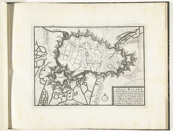
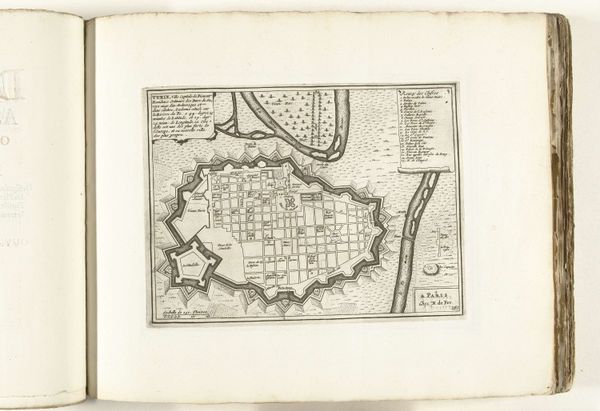
graphic-art, print, etching
#
graphic-art
#
baroque
# print
#
etching
#
etching
#
cityscape
Dimensions: height 232 mm, width 278 mm
Copyright: Rijks Museum: Open Domain
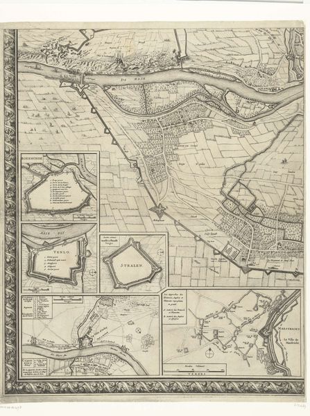
Curator: So, here we have "Plattegrond van Turijn" a cityscape from between 1701 and 1733, etched by Abraham Allard. It’s currently held at the Rijksmuseum. Editor: It’s amazing how much detail he got into this print. I’m particularly struck by the defensive walls. What do you make of that elaborate design? Curator: The star-shaped fortifications tell us so much about the mindset of the era! Look how the city almost huddles within them. What does it evoke in you? Editor: It definitely gives me a sense of being enclosed. Protected, yes, but also a little trapped. Curator: Precisely! Remember, this was the Baroque period. Think about the lavish courts, the power struggles. Those walls weren't just about keeping enemies out; they were about control, about defining space. Allard isn't just depicting Turin; he’s capturing a feeling. How does it differ from a modern map, do you think? Editor: Well, a modern map is really practical, focused on getting from A to B. This feels more… symbolic, maybe? Curator: Exactly! Modern maps show how to navigate; this shows how to *feel* about a city. There's a little bit of dreaminess mixed with hard strategic thinking embedded in these old maps. Do you see that interplay too? Editor: I think so. It’s fascinating to think about how much the design of a city was dictated by defense, more than convenience. Curator: Indeed! Art gives us a peek not just into what a place looked like, but how people lived and what was important to them, down to how they conceived safety and borders.
Comments
No comments
Be the first to comment and join the conversation on the ultimate creative platform.
More like this