drawing, print, ink, pen, engraving
#
drawing
#
baroque
# print
#
pen sketch
#
landscape
#
ink
#
pen
#
cityscape
#
engraving
Dimensions: height 224 mm, width 282 mm
Copyright: Rijks Museum: Open Domain
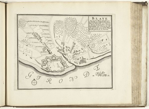
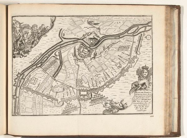
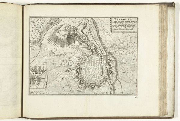
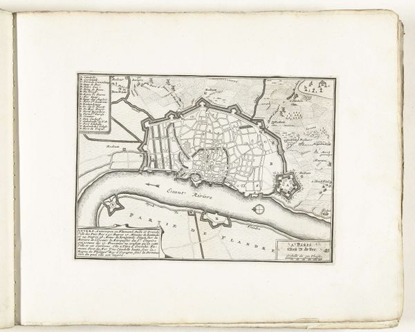
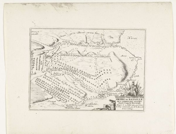
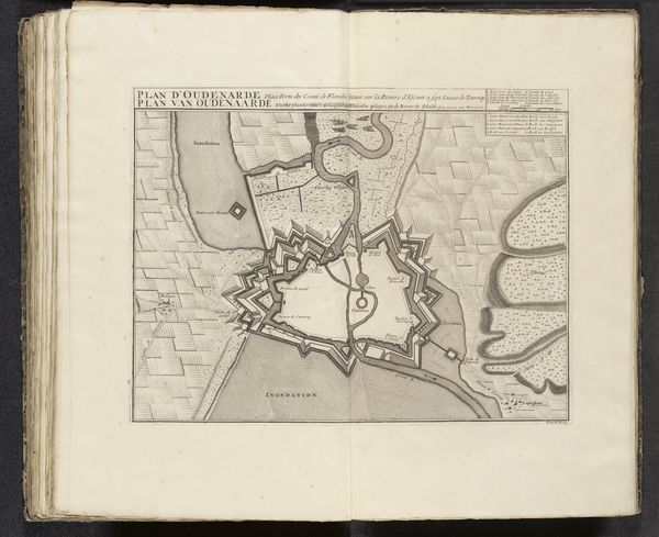
This is an anonymous etching of Plattegrond van het Fort Carlsburg, dating back to around 1702. The map depicts Fort Carlsburg, a crucial colonial trading post on the Gold Coast of Africa, now Ghana. Imagine the world of the 18th century, deeply entrenched in mercantilism and colonialism. This map isn’t just an innocent depiction of a fort, but a stark representation of the brutal reality of the transatlantic slave trade. Fort Carlsburg was a nexus for the exchange of enslaved Africans for goods. The fort, with its strategic design, symbolizes power, control, and domination. It’s a visual manifestation of the era’s power dynamics and the exploitation of human lives. Consider the unknown artist, likely a European, meticulously etching this map. What were their thoughts? Did they understand the profound implications of their work? Maps like these were not neutral; they were tools of empire, used to navigate, control, and extract wealth. The map quietly testifies to a violent history marked by the commodification and suffering of African people.
Comments
No comments
Be the first to comment and join the conversation on the ultimate creative platform.
