drawing, print, paper, ink, engraving
#
drawing
#
ink paper printed
# print
#
paper
#
ink
#
cityscape
#
history-painting
#
engraving
Dimensions: height 214 mm, width 239 mm
Copyright: Rijks Museum: Open Domain
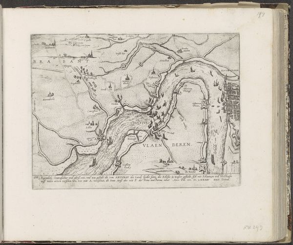
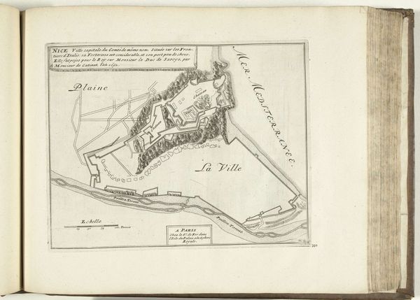
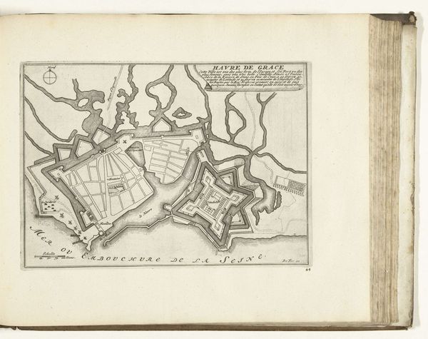
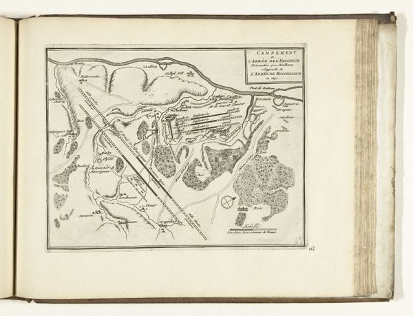
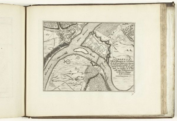
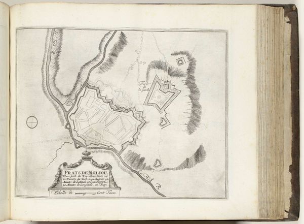
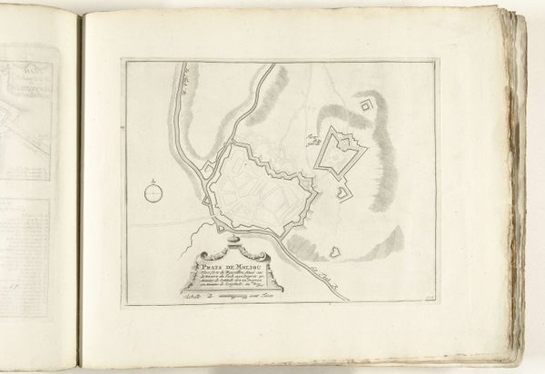
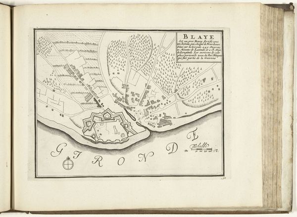
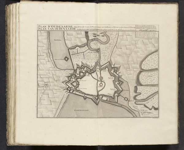
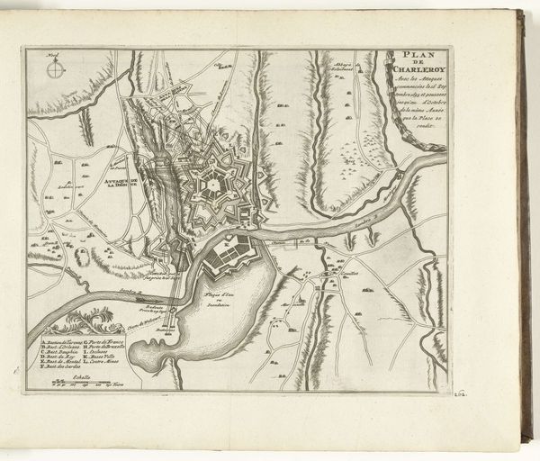
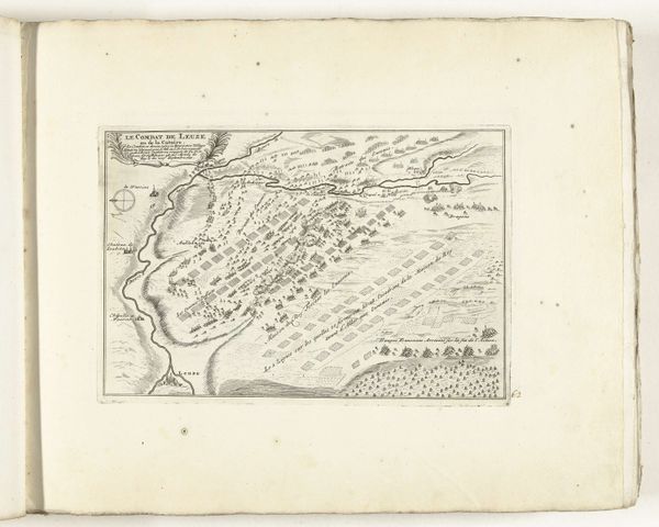
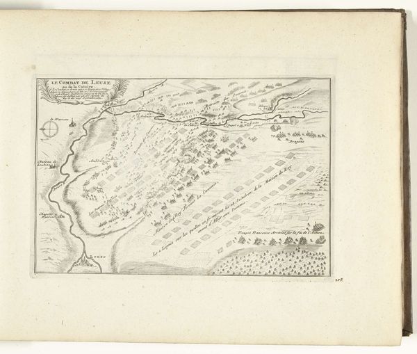
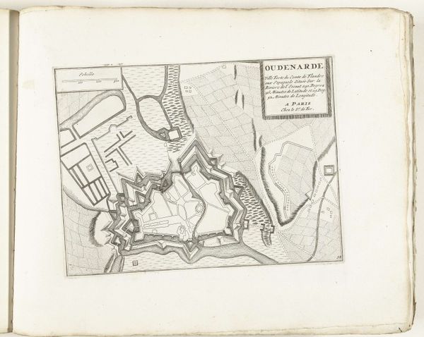
This is an anonymous rendering of 'Plattegrond van Pont-Saint-Esprit', made in 1726, whose intricate lines immediately suggest a world carefully mapped and measured. The eye is drawn to the geometric precision of the town's layout, contrasted with the fluid lines representing the river. The bridge is depicted as a delicate connection between the structured space of the town and the natural flow of the Rhône. This map operates as a semiotic system, where each line and shape functions as a sign. It reflects broader Enlightenment ideals, where empirical observation and rational ordering were used to understand and control the world. Consider how the map's formal qualities—its emphasis on line, shape, and the clear demarcation of space—do not simply represent a place but also convey a particular way of seeing and knowing, highlighting the era’s shift towards valuing reason and systematic analysis.
Comments
No comments
Be the first to comment and join the conversation on the ultimate creative platform.
