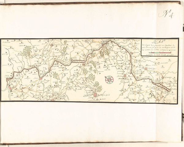
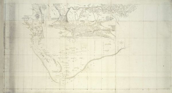
Map of the south coast of South Africa between Cape Agulhas and the Sundays River after 1789
0:00
0:00
drawing, paper, ink
#
drawing
#
light pencil work
#
incomplete sketchy
#
hand drawn type
#
landscape
#
hand lettering
#
paper
#
personal sketchbook
#
ink
#
romanticism
#
pen work
#
sketchbook drawing
#
sketchbook art
#
small lettering
#
initial sketch
Dimensions: height 930 mm, width 3740 mm
Copyright: Rijks Museum: Open Domain
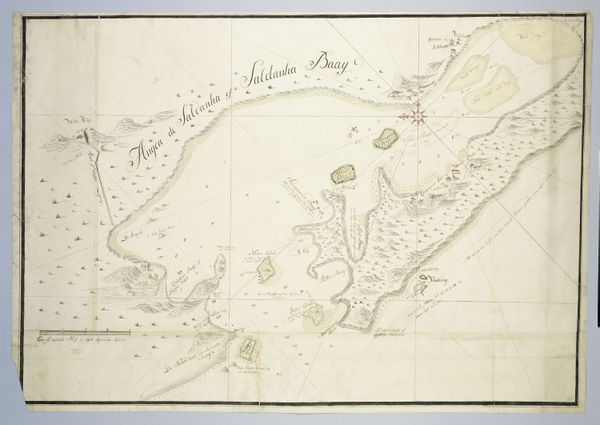
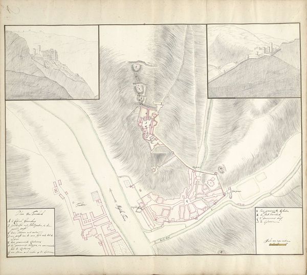
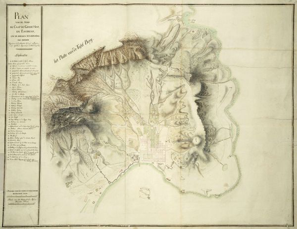
This is Robert Jacob Gordon's map of the south coast of South Africa, stretching from Cape Agulhas to the Sundays River. Though undated, it was probably made in the late 18th century. Considered within the social and institutional context of its time, this map offers insights into the intricate dance between exploration, scientific documentation, and colonial ambition. Gordon, an explorer and military commander in service of the Dutch East India Company, meticulously charted this region. We can examine how the image creates meaning through its detailed rendering of geographical features and annotations. This was a period when the charting of unknown territories was closely linked to imperial expansion and resource exploitation. The map can be seen as both a scientific tool and an instrument of power, reflecting the values and priorities of the Dutch East India Company, an institution that played a crucial role in shaping the economic and political landscape of the region. To understand this artwork better, we can consult historical records and institutional archives. Maps like these serve as powerful reminders that art is contingent on social and institutional contexts.
Comments
No comments
Be the first to comment and join the conversation on the ultimate creative platform.
More like this