print, etching, engraving
#
baroque
# print
#
etching
#
cityscape
#
history-painting
#
engraving
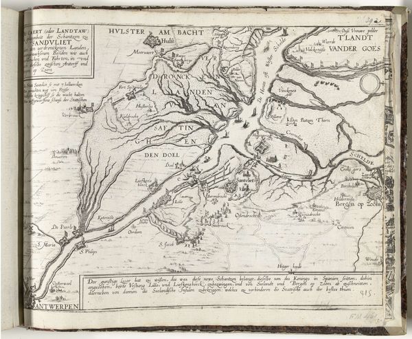
Dimensions: height 230 mm, width 548 mm
Copyright: Rijks Museum: Open Domain
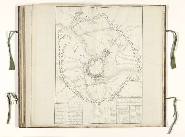
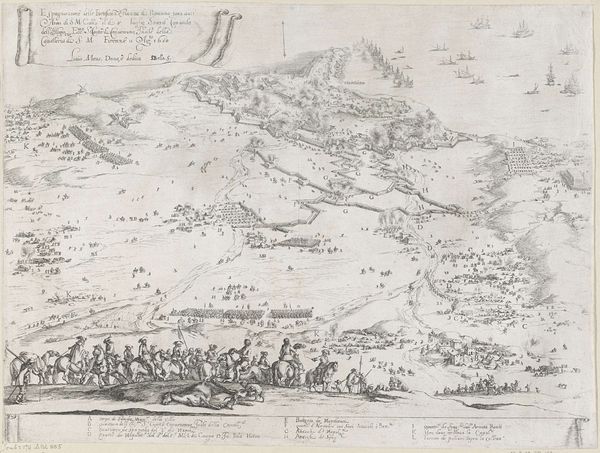
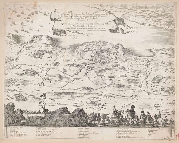
This is Franciscus van Schooten's 1622 map, an engraving depicting the siege of Bergen op Zoom. Cartography was a crucial tool of statecraft in the 17th century. It served to create geographical knowledge that could then be used to exert control over territory. Maps were thus not neutral documents, but powerful instruments that shaped political realities. Van Schooten's map is a good example. It meticulously documents the military strategies and the surrounding topography of Bergen op Zoom in the Netherlands. This kind of exactitude served to solidify Dutch claims to sovereignty during a period of conflict with Spain. The map's visual codes, like the depiction of fortifications, were meant to project military strength. Its display of geographical detail acted as a form of cultural propaganda. It was designed to shape public opinion about the conflict. Historical context is key to understanding the intent behind works like this. Accessing archives and collections, and delving into the political history of the Dutch Golden Age, reveals much about the social function of this kind of image.
Comments
No comments
Be the first to comment and join the conversation on the ultimate creative platform.
More like this