graphic-art, print, engraving
#
graphic-art
#
dutch-golden-age
# print
#
landscape
#
engraving
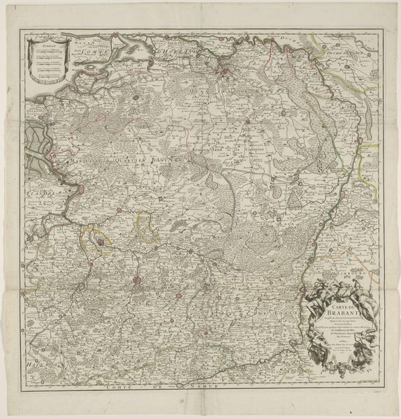
Dimensions: height 659 mm, width 638 mm
Copyright: Rijks Museum: Open Domain
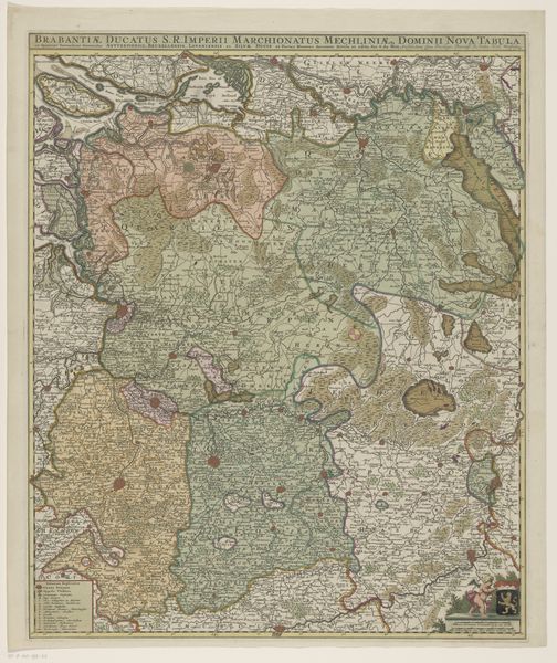
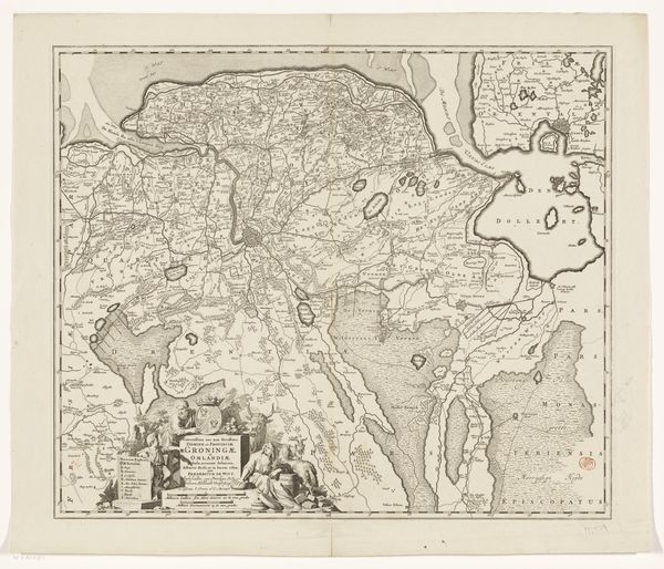
This map of Brabant is a testament to the artistry of Balthasar Ruyter. Though undated, its creation involved precise engraving techniques, likely on a copper plate, to produce these intricate lines and lettering. Consider the labor involved: from the initial survey of the landscape, to the skilled hand of the engraver meticulously transferring that information onto the plate. The quality of the print hinged on the application of ink, the pressure of the printing press, and the selection of paper. These processes were highly skilled crafts, demanding years of apprenticeship. The map itself would have been a luxury item. While it represents a specific territory, it also speaks to broader social issues of trade, politics, and knowledge production. Its level of detail and accuracy served practical and symbolic purposes, reflecting a growing understanding of the world and the control of territory. Ultimately, this map is a reminder that even seemingly straightforward images are the result of complex material processes, skilled labor, and specific social contexts. To understand its full meaning, we must look beyond the surface and appreciate the making itself.
Comments
No comments
Be the first to comment and join the conversation on the ultimate creative platform.
More like this