print, etching, engraving
# print
#
etching
#
landscape
#
etching
#
geometric
#
engraving
Dimensions: height 487 mm, width 597 mm
Copyright: Rijks Museum: Open Domain
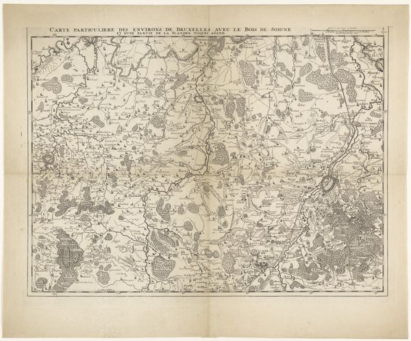
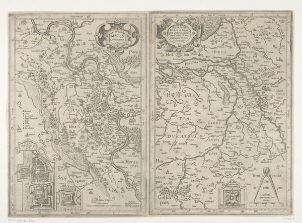
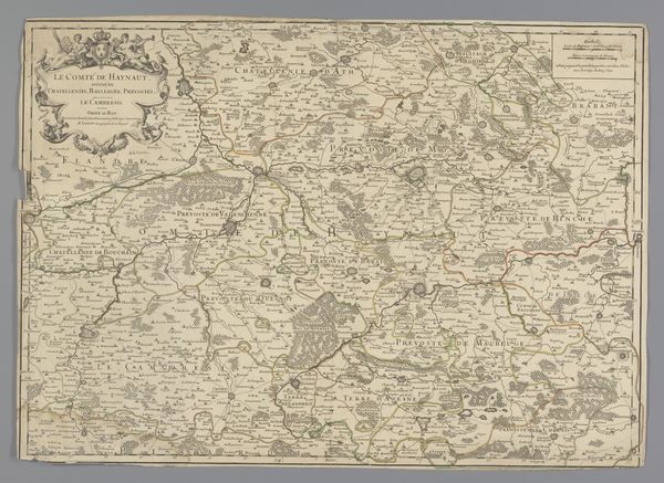
This is an anonymous map of Brabant, Limburg, and parts of Zeeland and Flanders. Printed maps like this one served not only as geographical tools but also as instruments of power. They visually asserted control over territories, defining borders and legitimizing claims of ownership and governance. Think about how this act of mapping—of naming and claiming—intersects with the lives of the people who inhabited these spaces. What did it mean for them to see their homes, their lands, reduced to lines and names on a page controlled by distant authorities? The act of mapping is far from neutral; it encodes and reinforces power dynamics. It's a reminder that our understanding of place is always mediated, shaped by those who hold the pens and draw the lines.
Comments
No comments
Be the first to comment and join the conversation on the ultimate creative platform.
More like this