drawing, ink
drawing
dutch-golden-age
ink
geometric
cityscape
Dimensions: height 379 mm, width 517 mm
Copyright: Rijks Museum: Open Domain
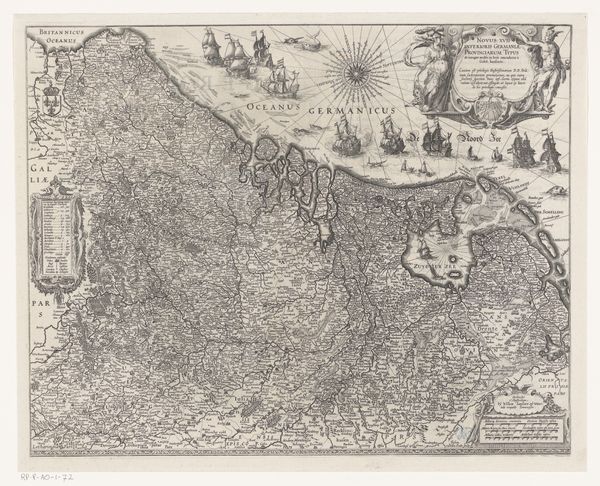
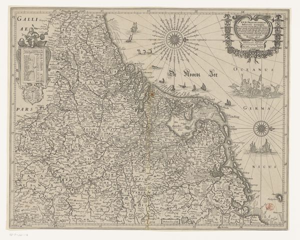
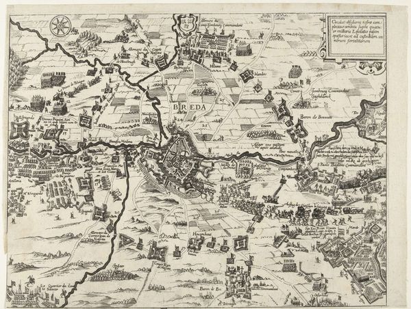
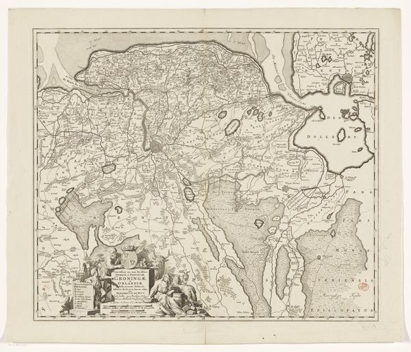
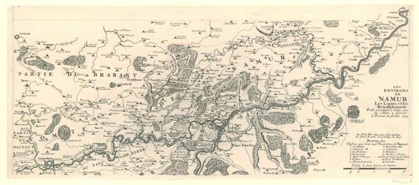
Pieter van der Keere made this map of the county of Holland sometime around the turn of the 17th century, using engraving. The fine lines of the engraving create a wealth of detail, from the elaborate cartouches to the tiny, densely packed place names. Look closely, and you can almost feel the burin – the engraver's tool – as it carves away slivers of copper. This wasn't just a feat of technical skill; it was a meticulous act of labor. Each line, each letter, carefully etched to create an image of control. Maps like these played a crucial role in the burgeoning mercantile culture of the Dutch Golden Age. They weren't just about geography; they were tools for trade, navigation, and ultimately, power. By mapping the territory, van der Keere and his contemporaries were actively shaping it, turning land into a commodity, and knowledge into capital. This map is a testament to the artistry of the engraver, but it also reminds us that even the most beautiful objects can be deeply implicated in wider social and economic forces.
Comments
No comments
Be the first to comment and join the conversation on the ultimate creative platform.