print, engraving
#
baroque
# print
#
old engraving style
#
line
#
cityscape
#
engraving
Dimensions: height 429 mm, width 538 mm
Copyright: Rijks Museum: Open Domain
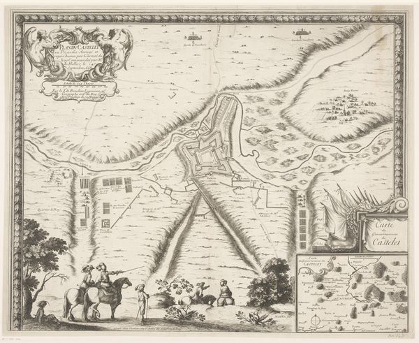
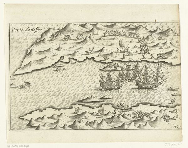
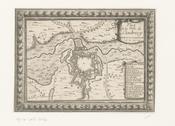
This map of the coast near Piombino during the siege of 1650 was made by an anonymous artist. The composition is visually dominated by the geographical rendering of the Piombino coastline and its surrounding waters. Note how the meticulous lines detail both the topography of the land and the ships at sea. The map’s structure divides space into zones of representation, contrasting detailed coastlines with stylized open water. The linear quality, evident in the neat hatching indicating land elevation and depth, brings us to think about semiotics where signs are used to present an idea of place and spatial relationship through cartographic language. Consider how the interplay between factual representation and symbolic encoding reflects the period's understanding of territory and power. The map therefore functions not merely as a tool for navigation but also as a complex cultural artifact.
Comments
No comments
Be the first to comment and join the conversation on the ultimate creative platform.
More like this