print, engraving
#
dutch-golden-age
# print
#
pen sketch
#
landscape
#
engraving
Dimensions: height 760 mm, width 490 mm
Copyright: Rijks Museum: Open Domain
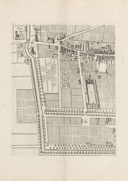
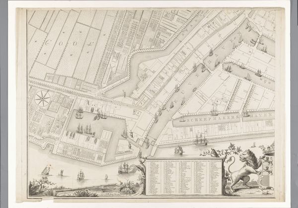
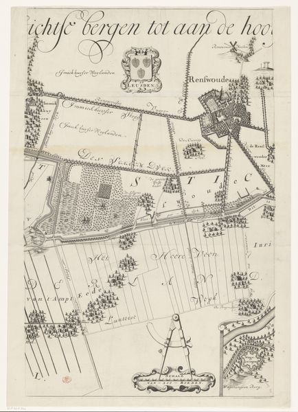
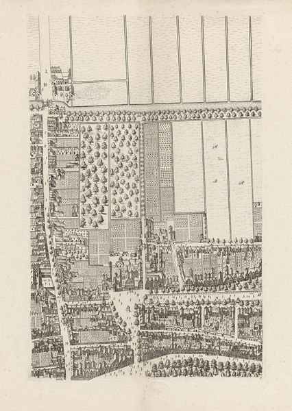
Caspar Specht rendered this section of the Slaperdijk in pen and ink, presenting a landscape steeped in symbols of authority and jurisdiction. Note the prominent coats of arms, emblems of Amersfoort and other jurisdictions; these are not mere decorations, but assertions of power, echoing the heraldic traditions of medieval Europe. Such symbols evolved from battlefield identifiers to markers of lineage and control, their visual language speaking volumes about ownership and allegiance. Consider how these symbols, like those found in ancient Roman standards or Egyptian hieroglyphs, serve as focal points for collective identity and territorial claim. They tap into a deep, almost subconscious need for order and belonging, evoking a sense of stability in the viewer. The map then becomes more than a practical tool; it is a psychological landscape, projecting the viewer into a world where power is visually codified and authority is literally mapped out. These symbols resurface in modern contexts—flags, corporate logos—continuing to shape our perceptions of belonging and control.
Comments
No comments
Be the first to comment and join the conversation on the ultimate creative platform.
More like this