print, engraving
#
baroque
#
dutch-golden-age
# print
#
geometric
#
cityscape
#
engraving
Dimensions: height 548 mm, width 651 mm
Copyright: Rijks Museum: Open Domain
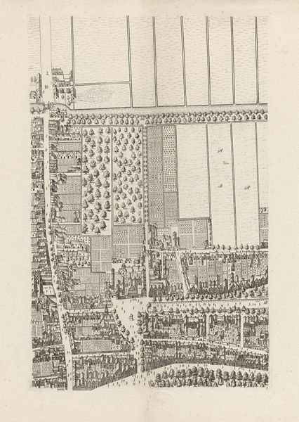
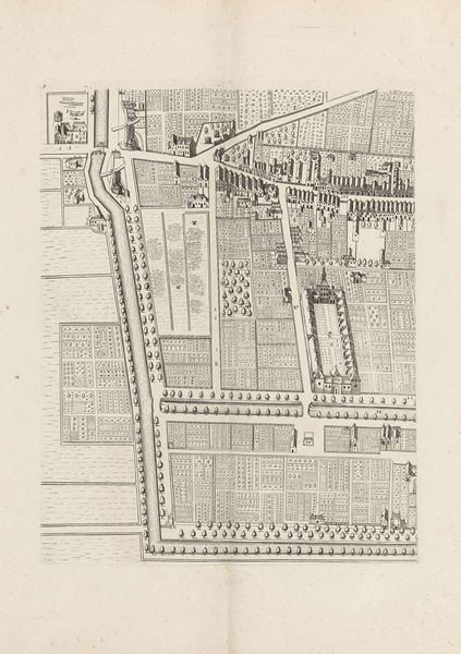
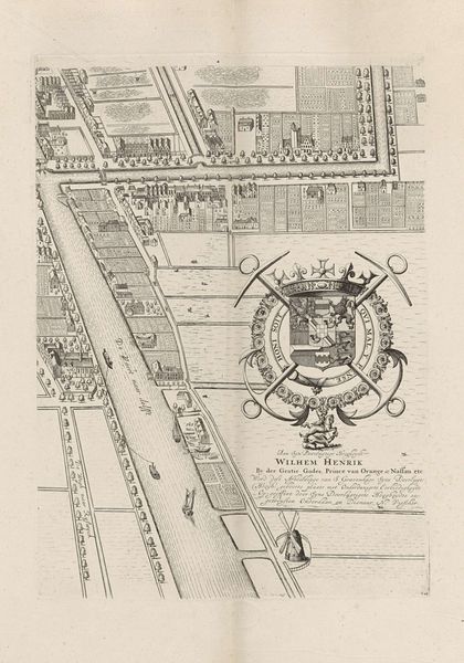
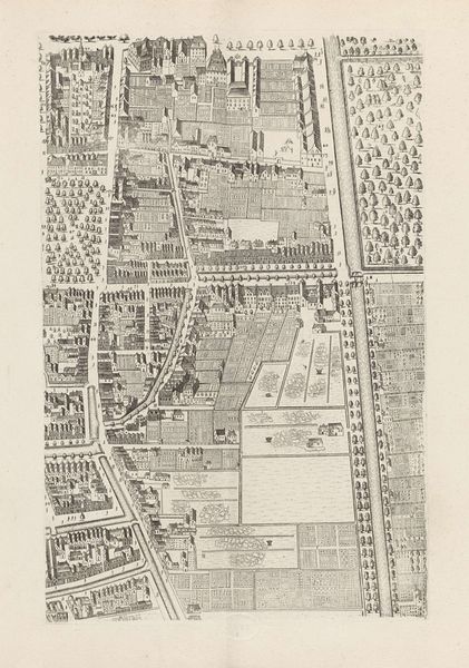
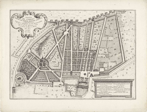
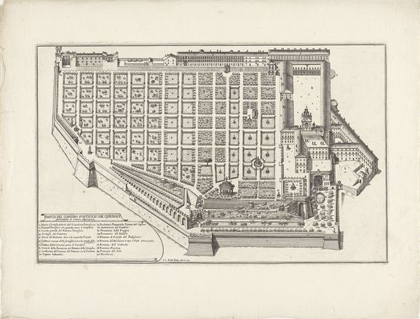
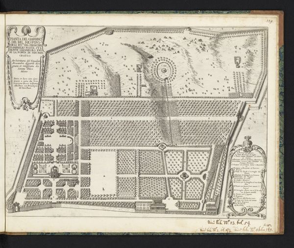
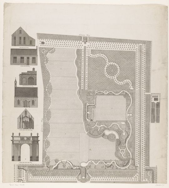
Cornelis Elandts made this section of a larger map of The Hague using ink on paper, sometime in the second half of the 17th century. The linear quality of ink lends itself well to the precise lines needed to chart city blocks, waterways, and gardens. Notice the highly manicured and geometric garden, a common feature of elite life in this era, contrasting with the more densely packed urban spaces. Engraving, like many printmaking techniques, is fundamentally a reproductive medium. Maps like this one served practical purposes but also reflected a worldview, offering a bird's-eye view that only the privileged could imagine possessing. The labor involved in producing such detailed work would have been considerable, from the initial surveying and drafting to the meticulous engraving of the printing plate. Considering the materials and processes reveals the map not just as a document, but as a crafted object embedded with social meaning.
Comments
No comments
Be the first to comment and join the conversation on the ultimate creative platform.
More like this