1701 - 1714
Vier kaarten van steden in Catalonië, ca. 1701-1713
Abraham Allard
1676 - 1725Location
RijksmuseumListen to curator's interpretation
Curatorial notes
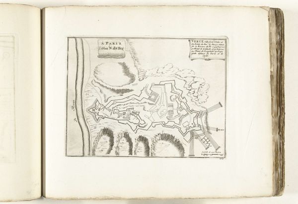
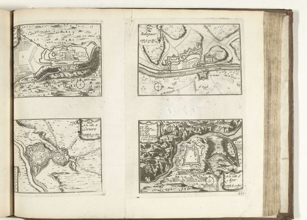
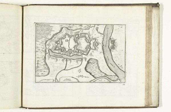
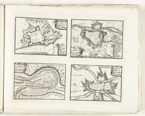
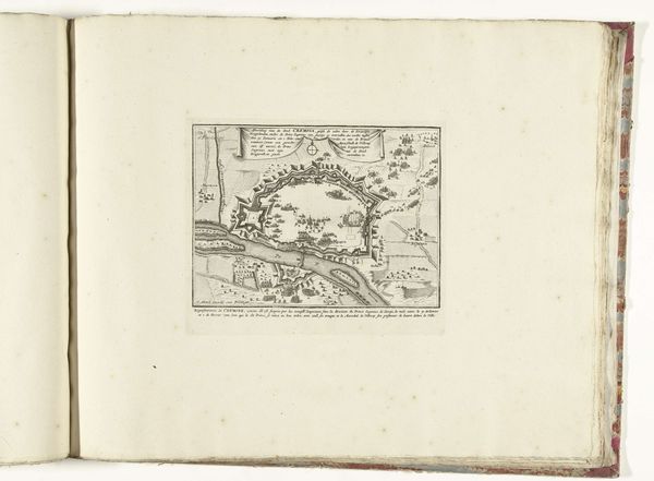
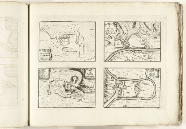
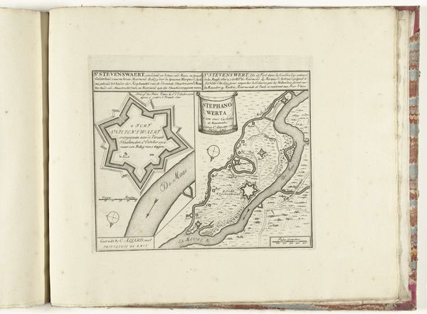
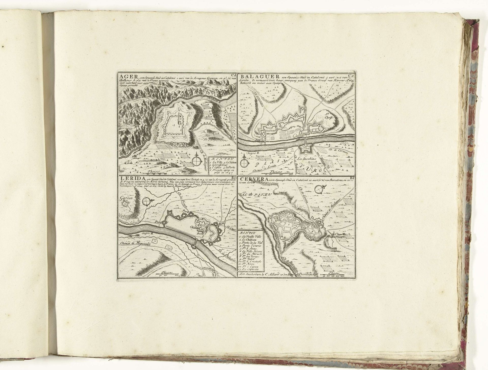
Abraham Allard created these four city maps of Catalonia sometime between 1701 and 1713 using etching. Dominating each map is the city's fortifications, reflecting the turbulent times of the War of the Spanish Succession. These fortified structures, rendered with meticulous detail, speak of a society deeply concerned with defense and control. The geometric precision of these city plans contrasts starkly with the organic forms of the surrounding landscapes. This juxtaposition isn't merely aesthetic; it underscores a broader cultural tension between the desire for order and the untamed forces of nature. We see the recurrent motif of the circle, or the ring, from the walls of Ager, Balaguer, Lerida, to Cervera. Circles, symbols of protection and enclosure, appear throughout art history, ranging from simple, prehistoric renderings to more complex symbols such as halos in religious iconography. Notice that these defensive walls are not static; they evolve in response to technological advancements in warfare. This evolution reveals our deeply rooted need for security, a primal instinct that finds expression in the visual language of fortifications. This need perpetually resurfaces, adapts, and imprints itself upon our cultural and artistic creations.