drawing, paper, ink, architecture
#
drawing
#
paper
#
ink
#
geometric
#
ancient-mediterranean
#
cityscape
#
architecture
Dimensions: height 134 mm, width 288 mm
Copyright: Rijks Museum: Open Domain
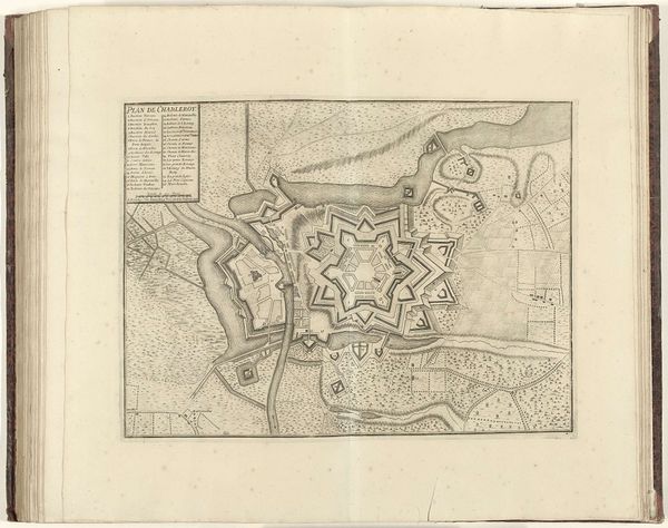
This is a map of the excavations at Delphi by J. Djanides, and it looks like it was made using some kind of printing process. The whole thing is blue, like an old-school blueprint. You know, artmaking is a process of layering and mark-making. Maps are kind of like that too, they layer information and create a picture of a place. Looking at this, I see the little lines and dots that represent buildings and roads. There's a cool contrast between the solid shapes and the empty spaces. It's like the artist is inviting you to fill in the gaps with your imagination. Check out the theatre up top: the lines radiating out from the center feel like energy spreading. It reminds me that art isn't just about what's there, but also about what's implied. Think about Piranesi, his architectural prints. This map shares a bit of that obsessive detail, that need to map out the world. Ultimately, art is all about embracing the unknown.
Comments
No comments
Be the first to comment and join the conversation on the ultimate creative platform.
More like this