drawing, print, engraving
#
drawing
#
baroque
#
pen drawing
# print
#
geometric
#
cityscape
#
history-painting
#
engraving
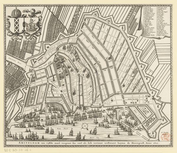
Dimensions: height 502 mm, width 567 mm
Copyright: Rijks Museum: Open Domain
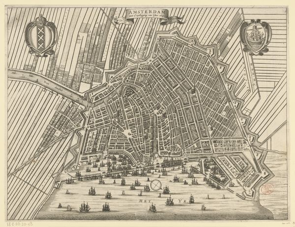
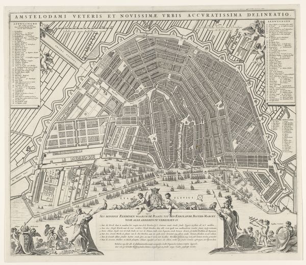
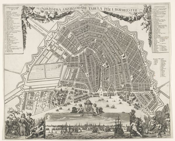
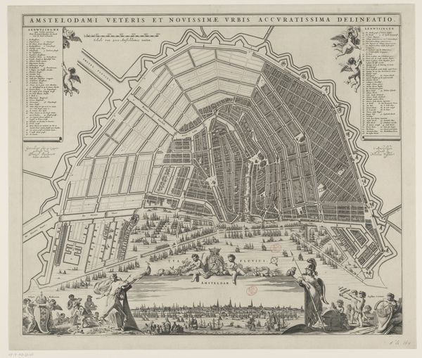
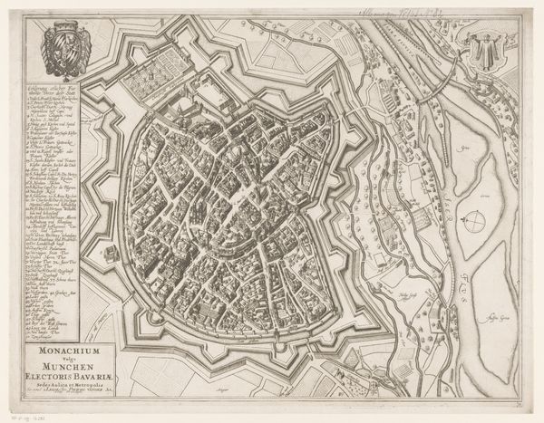
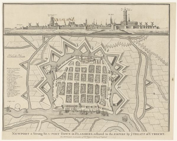
This is an anonymous map of Amsterdam, an intricate etching on paper. It's not just a depiction of the city, but a proposal, "ontwerp," for its expansion. Look closely at the lines, each etched with precision. Consider the labor involved in creating such a detailed representation, not just the artist’s skill, but the wider social context of production, and how the map embodies the ambitions of a mercantile power. The map meticulously depicts the city's canals, streets, and buildings. The stark linearity speaks to the Dutch emphasis on order and planning. It’s almost diagrammatic, reflecting the influence of the Dutch Republic and the rise of capitalism. Mapping was about taking possession of space and resources. Ultimately, this map transcends its utilitarian function. It stands as a testament to the power of human ingenuity, a vision of the city as both a practical infrastructure and a work of art. It compels us to look beyond the mere representation and understand the deep social and economic forces that shaped its creation.
Comments
No comments
Be the first to comment and join the conversation on the ultimate creative platform.
More like this