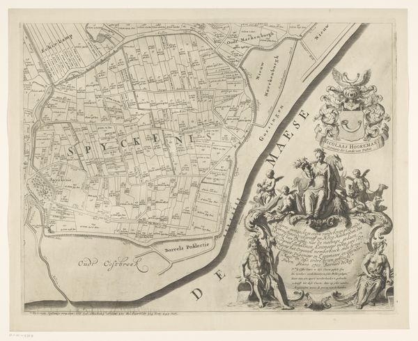
Kaart van het Hoogheemraadschap van Schieland (zevende deel) 1660 - 1718
0:00
0:00
johannesvinckboons
Rijksmuseum
drawing, print, ink
#
drawing
#
dutch-golden-age
# print
#
pen illustration
#
landscape
#
ink
#
geometric
#
cityscape
#
academic-art
Dimensions: height 497 mm, width 590 mm
Copyright: Rijks Museum: Open Domain
Editor: Here we have "Kaart van het Hoogheemraadschap van Schieland (zevende deel)", a map created between 1660 and 1718 by Johannes Vinckboons. It’s a drawing rendered in ink, a detailed cityscape articulated with fine lines. What strikes me is how technical and precise it appears. What can you tell me about it? Curator: This map, seemingly simple, presents a compelling view into the material practices of its time. Notice the ink, the precise lines—these aren’t just aesthetic choices. They speak directly to the cartographer’s labor, to the physical effort involved in producing such detailed records. Think about the socioeconomic implications of land ownership. Editor: I hadn’t thought about the economic side. It feels almost purely informational, but I guess there had to be a practical purpose, not just a beautiful image. Curator: Exactly. These "cityscapes" reflect land control, hydraulic engineering and political power during the Dutch Golden Age. Land equals power. The means of creating and disseminating such a map, and the very materials used – the paper, the ink – underscore that production. Are we celebrating art, or technological craftsmanship? Is there a distinction? Editor: That's fascinating. So by focusing on the materials and what it took to make this, we’re getting closer to what this map meant back then? The tools needed, the skill... It reframes the work. Curator: Precisely! By examining its construction, we connect with the realities of labor, ownership and trade of the 17th century Netherlands. Editor: That's given me a lot to consider, really shifting how I view the art of map-making, thank you! Curator: It changes my perspective, too. Now I’m thinking about what inks they might have used.
Comments
No comments
Be the first to comment and join the conversation on the ultimate creative platform.
More like this