print, etching, engraving
#
baroque
# print
#
etching
#
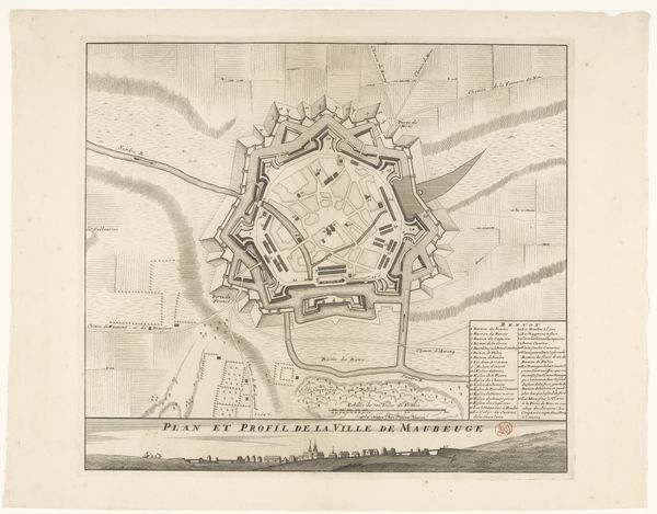
cityscape
#
engraving
Dimensions: height 498 mm, width 633 mm
Copyright: Rijks Museum: Open Domain
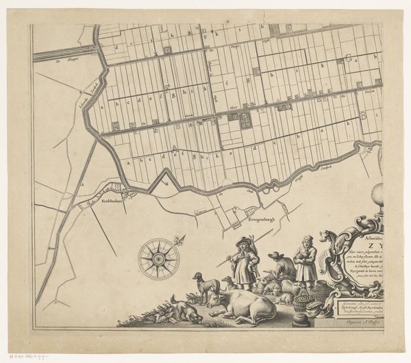
Gilliam van der Gouwen etched this section of "Kaart van de Ring van Putten" with meticulous detail. Dominating the composition, observe the allegorical figures surrounding Nicolaas Hooreman’s coat-of-arms. A female figure reclines, cherubs playing around her, representing abundance and divine favor. Such imagery draws from classical antiquity, echoing the Roman goddess Fortuna, often depicted with cornucopia and attendant putti, symbols of prosperity. These motifs resonate across time. Consider Botticelli’s "Primavera," where Flora scatters flowers, a visual echo of the abundance here. This same thread appears in Renaissance tapestries and Baroque paintings. What compels the repeated invocation of such symbols? Perhaps a deeply rooted yearning for prosperity, for nature’s bounty, surfacing in art across centuries, a collective memory woven into our cultural fabric. The image becomes a powerful force, engaging us on a subconscious level, evoking shared desires and anxieties. Ultimately, this map transcends mere cartography; it embodies the cyclical nature of symbols, how they resurface, evolve, and acquire new significance across history.
Comments
No comments
Be the first to comment and join the conversation on the ultimate creative platform.
More like this