drawing, print, paper, ink
#
drawing
#
baroque
# print
#
pen sketch
#
paper
#
ink
#
pen work
#
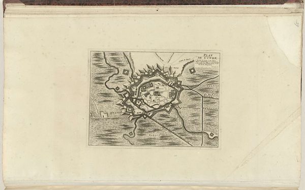
cityscape
Dimensions: height 200 mm, width 280 mm
Copyright: Rijks Museum: Open Domain
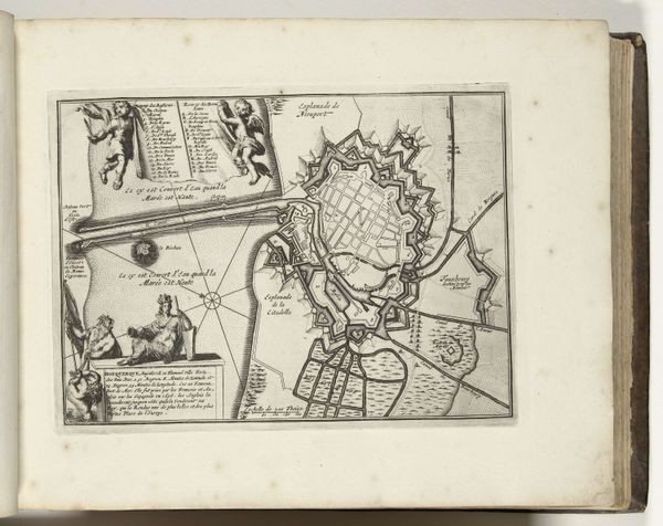
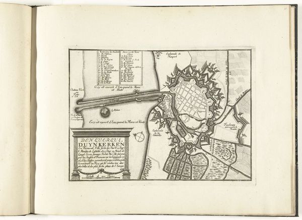
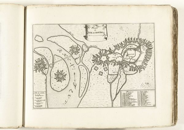
This is Laurens Scherm's "Plattegrond van Duinkerke," circa 1702, created with etching on paper. The stark contrast of lines against the white ground immediately draws the eye into a meticulously rendered map. The detailed linework invites contemplation on themes of order and control, and perhaps the hubris of asserting dominance through cartography. Each line, each shape, is not merely descriptive but performs a kind of symbolic function. We might think of Foucault's notions of power and knowledge: The map orders space, rendering the territory knowable and thus controllable. The structure itself is a statement about our relationship to the environment, implying that knowledge is power. Note the rigid geometry of the fortifications versus the fluidity of the coast—a semiotic dance between nature and the imposing grid of human design. Such graphical structures reflect the era's fascination with reason and its attempts to impose a rational order upon the world. The map isn't just a representation; it's an assertion, a discourse, and an active participant in shaping our perception of space and power.
Comments
No comments
Be the first to comment and join the conversation on the ultimate creative platform.
More like this