drawing, print, ink, engraving
#
drawing
# print
#
pen sketch
#
old engraving style
#
11_renaissance
#
ink
#
cityscape
#
italian-renaissance
#
engraving
Dimensions: height 180 mm, width 285 mm
Copyright: Rijks Museum: Open Domain
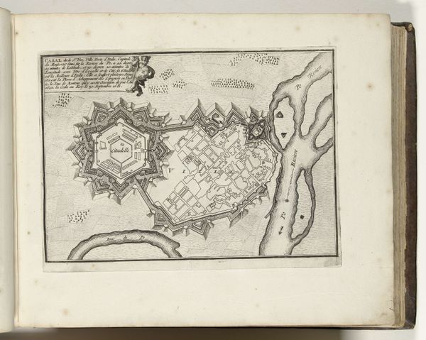
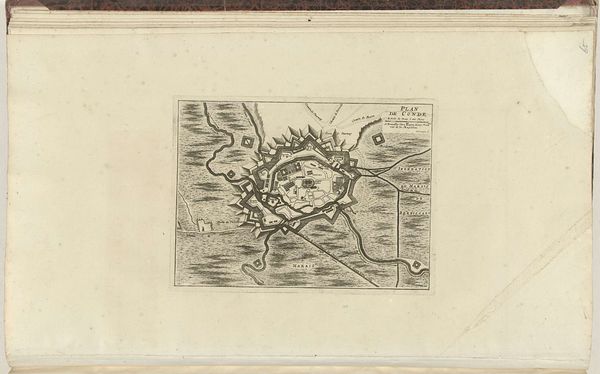
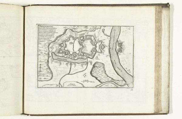
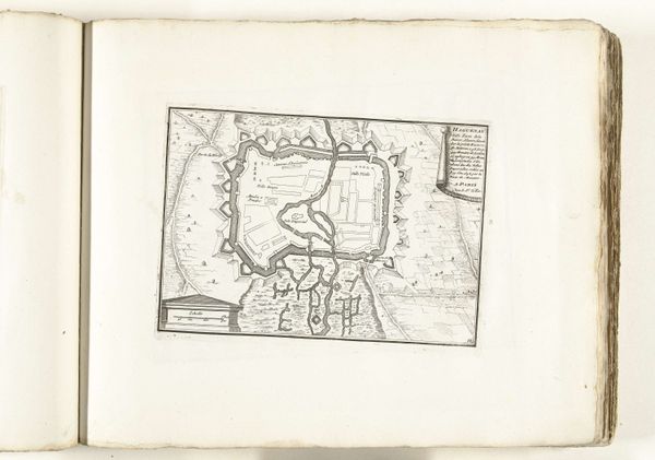
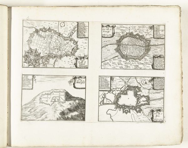
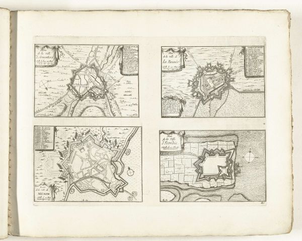
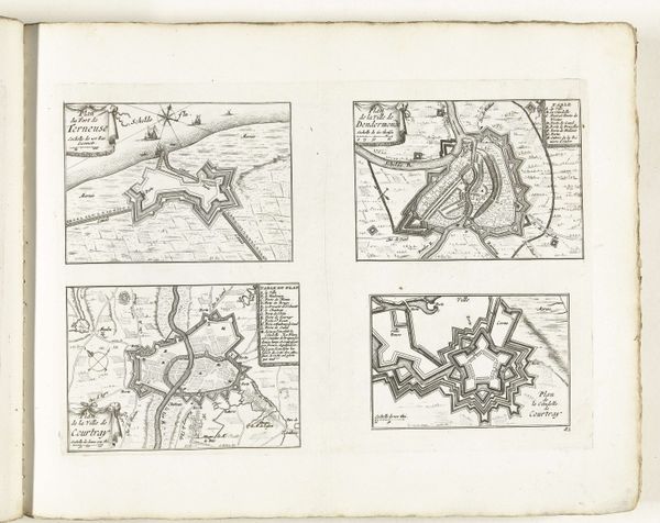
Editor: This is "Plattegrond van Casale Monferrato," a map created around 1702-1703 by an anonymous artist. It’s rendered in ink as an engraving, showcasing the cityscape. It strikes me as incredibly precise and almost obsessive in its detail. What stands out to you? Curator: Ah, yes. Precision with a dash of the poetic. I see a story etched in lines, a dance between order and the unpredictable flow of life along the Po River. Look how the city nestles, almost embraces, the imposing Citadella. Editor: It's like the city grew *around* that central fortress. Is that Citadella a sort of metaphor, then? Curator: Perhaps! The city both protected, and hemmed in? Maybe. It’s hard to tell, because cartography at the time was a blend of military strategy and idealized projection. Imagine the hand that drafted this, painstakingly rendering each street, each defensive bastion... Were they dreaming of control, of power? Were they anxious? Editor: It’s strange to think of the artist’s mindset, injecting anxiety into the lines of a map... I hadn’t considered that a map could express emotion. Curator: These maps, though “technical”, they were inevitably shaped by perception. I wonder: could that branching river mirror the complexities of governance itself? Every fork in the river, a choice... Editor: That's… really interesting! I definitely have a new appreciation for historical maps. Thank you for your insightful interpretation. Curator: And thank *you* for prompting me to wander those little streets again. Maps, like life, reveal new perspectives each time we return.
Comments
No comments
Be the first to comment and join the conversation on the ultimate creative platform.
More like this