graphic-art, print, engraving
#
graphic-art
#
baroque
# print
#
perspective
#
line
#
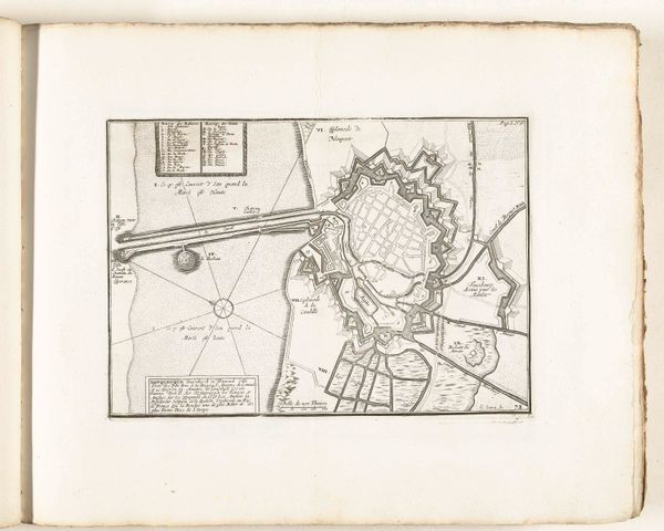
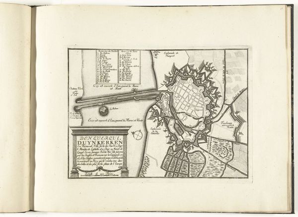
cityscape
#
engraving
Dimensions: height 204 mm, width 276 mm
Copyright: Rijks Museum: Open Domain
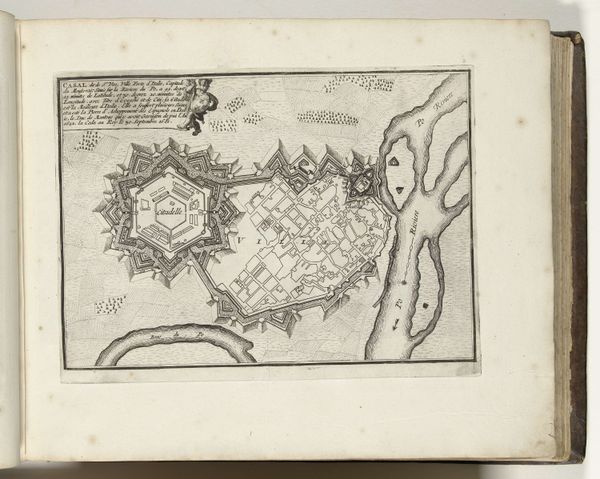
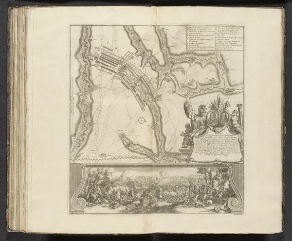
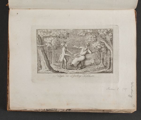
This is an anonymous engraving from 1693 depicting Dunkirk. This French map is more than a guide to the city's layout; it's a statement about power, made during a time of intense European conflict. Notice how the city is presented - not as a place of commerce or community, but as a fortress. The detailed fortifications emphasize military strength, reflecting the ongoing wars and strategic importance of Dunkirk as a port. Symbolic figures, such as the reclining man, further enhance its status. This image gives us insight into the priorities of the time. It invites us to consider whose interests were served by this representation, and what it tells us about the relationship between cities, states, and the projection of authority in early modern Europe. Studying maps like this involves delving into military history, urban studies, and the history of cartography, where we can better understand the complex interplay of power and representation.
Comments
No comments
Be the first to comment and join the conversation on the ultimate creative platform.
More like this