drawing, ink, engraving
#
drawing
#
baroque
#
pen drawing
#
pen illustration
#
pen sketch
#
ink
#
pen work
#
cityscape
#
engraving
Dimensions: height 230 mm, width 333 mm
Copyright: Rijks Museum: Open Domain
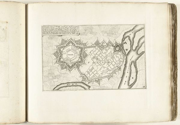
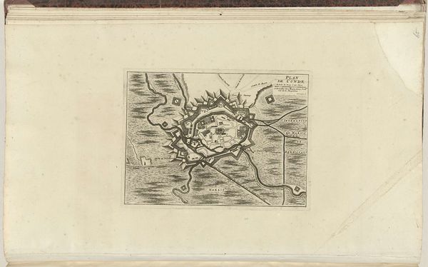
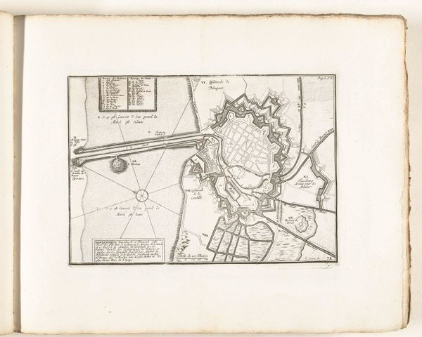
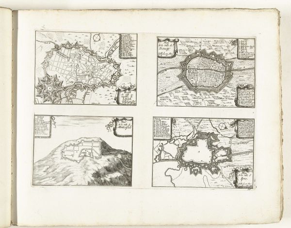
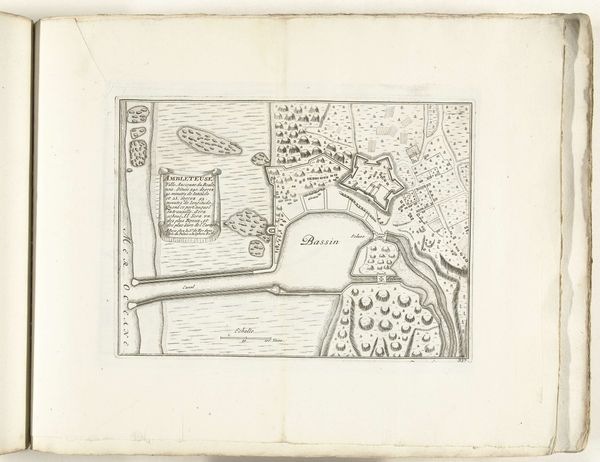
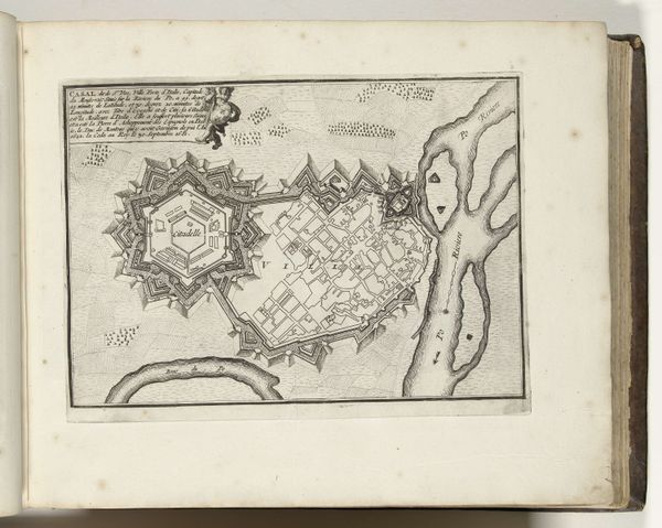
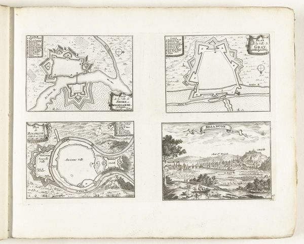
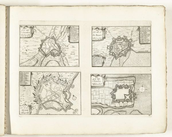
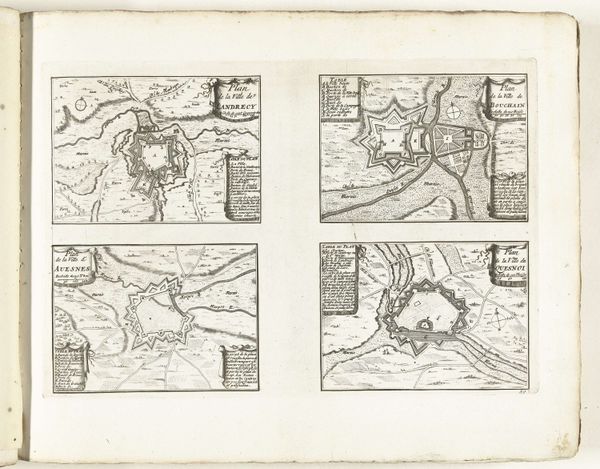
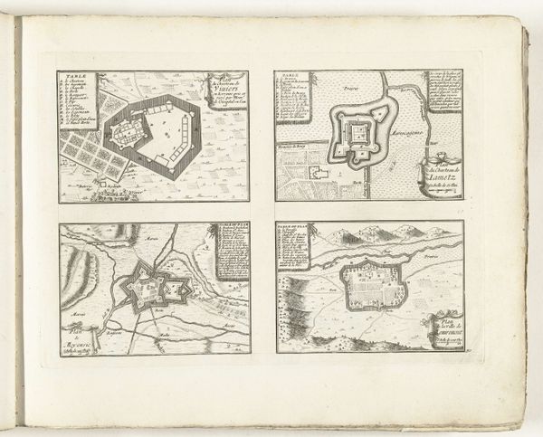
Editor: So, this is an anonymous pen and ink drawing, with engraving, of "Plattegrond van Straatsburg," dating from around 1702, held at the Rijksmuseum. The detail is incredible! What immediately strikes me is the visual representation of power and control. How do you interpret this work? Curator: Exactly. Think about the map not just as a depiction of a city, but as an assertion of dominance. Maps in this era were deeply intertwined with political power. Consider Strasbourg's location and history. It was a contested territory between France and the Holy Roman Empire. This map, with its meticulously rendered fortifications, highlights military strategy. What does that tell you about the priorities of the people who commissioned or consumed such an image? Editor: It screams preparation for conflict, a visual claim to ownership, right? It almost feels like a blueprint for invasion or defense. Curator: Precisely. And look at how the city is represented versus the surrounding landscape. There’s a clear emphasis on man-made structures, control over nature, and how those aspects dictate lived experience. Editor: That’s a really interesting point. The natural elements, like the river, seem almost secondary, just obstacles or resources within the overall plan of human construction. Curator: It also reinforces ideas about the colonial gaze – the act of seeing and representing a space in a way that flattens it and asserts control. Consider what or *who* is not included in the map. Where are the people? Where is the social complexity of urban life? These absences speak volumes. Editor: I see that. So the map becomes more than just geography; it's a statement about authority and control. Thanks, I will keep that in mind. Curator: And a reminder that every image, even something seemingly objective like a map, is embedded with power dynamics. That's what I'm taking away from it.
Comments
No comments
Be the first to comment and join the conversation on the ultimate creative platform.
More like this