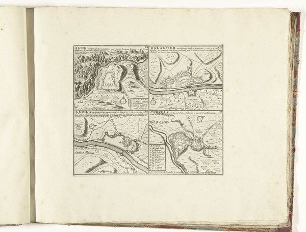
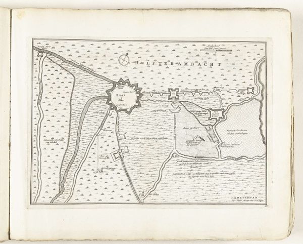
drawing, print, ink, engraving
#
drawing
#
baroque
# print
#
ink
#
geometric
#
cityscape
#
engraving
Dimensions: height 188 mm, width 255 mm
Copyright: Rijks Museum: Open Domain
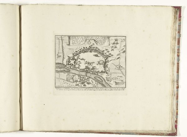
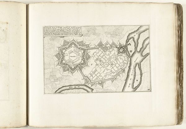
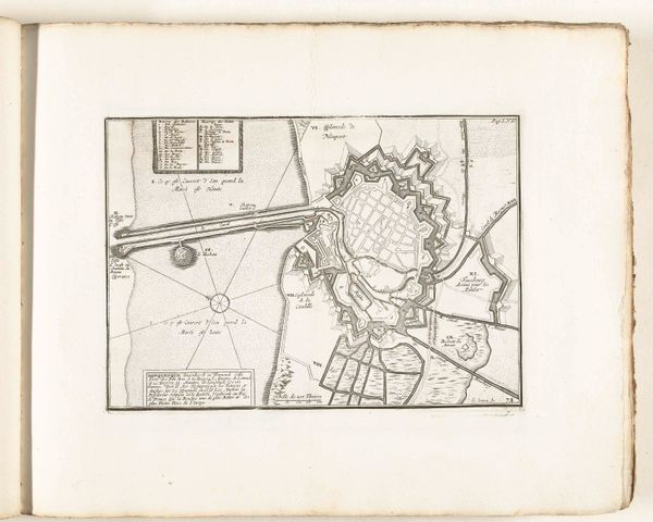
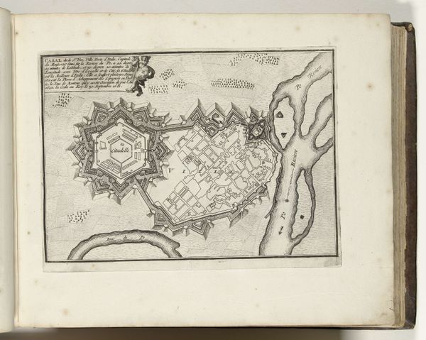
Editor: Here we have Jacobus Harrewijn's "Plattegrond van Condé," dating back to sometime between 1706 and 1712. It’s an ink and engraving print of a city, seemingly heavily fortified. It looks so precise and ordered. What's your take on this piece? Curator: Immediately, I’m drawn to the symbolic power of the city plan itself. Notice how Condé is depicted. The city as a fortress, right? The star shape, the sharp angles – they evoke defense, security. But against what? Consider the cultural memory embedded in these forms. Editor: A sense of protection then, from invasion maybe? Curator: Precisely! Think about the psychological impact of living within such a structure. Walls provide security but also imply confinement. The geometric layout could represent a rational, controlled society, pushing back against the chaos outside. Do you see any symbolic meaning embedded in the relation of the urban inside with the outside? Editor: I suppose the river could signify commerce or resources, but the marsh area named "Marais" sounds dangerous. Was Condé a strategically important place during its time? Curator: Exactly! It would have been a strategic and economic locus that shaped regional relations, and Harrewijn’s rendering emphasizes both the constructed defenses and the seemingly limitless openness of its territory. And yes, Marais carries the psychological weight of disease, wildness, the unknown. Editor: This piece has really given me a different perspective. Now I can see more in the design than I initially thought, as well as the city's memory within that. Curator: Seeing historical context is an invaluable method for unpacking meaning; and seeing the city itself as a symbol, loaded with intention, changes how we perceive the urban experience even today.
Comments
No comments
Be the first to comment and join the conversation on the ultimate creative platform.
More like this