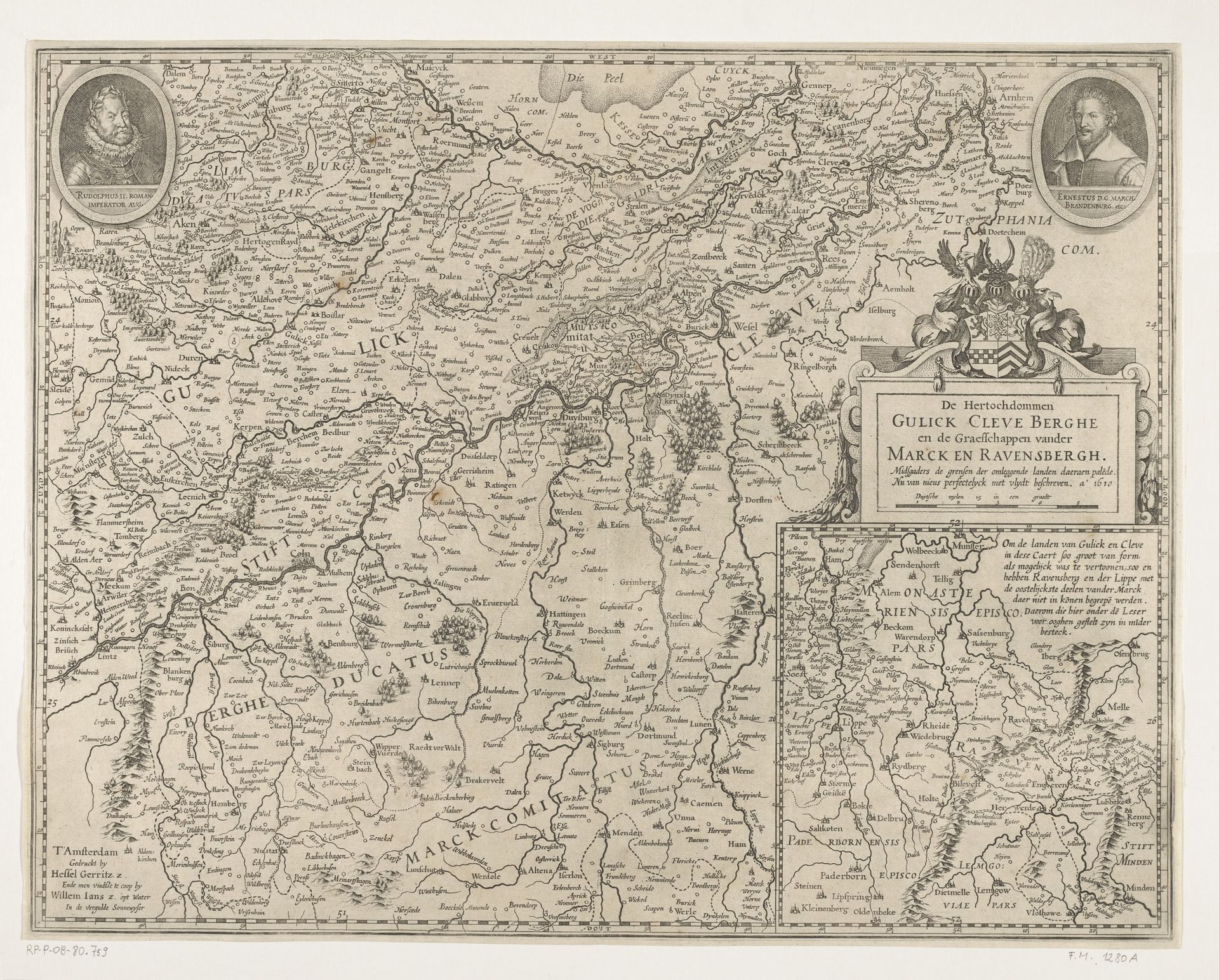
1610
Kaart van de hertogdommen Gulik, Kleef en Berg, strijdtoneel van de Gulik-Kleefse kwestie, 1610
Hessel Gerritsz
1581 - 1632Location
RijksmuseumListen to curator's interpretation
Curatorial notes
Hessel Gerritsz created this map in 1610 using engraving. It depicts the territories of Gulik, Kleef and Berg, lands that were central to a succession crisis in the early 17th century. This map is not just a geographical document; it's a political statement. The detailed rendering of the region emphasizes its strategic importance, while the portraits of the contending rulers frame the conflict as a matter of personal claims and dynastic ambition. Made in Amsterdam, this map reflects the Dutch Republic's growing interest in the affairs of its German neighbors, and the rise of cartography as a tool of statecraft. The ornate coat of arms and meticulous detail speak to the map's intended audience: educated elites who would have understood its symbolic language and appreciated its aesthetic qualities. To truly understand this map, we need to delve into the history of the Dutch Golden Age, and explore the complex web of alliances and rivalries that shaped early modern Europe. Historical archives, diplomatic correspondence, and genealogical records can help us decipher its hidden meanings, and appreciate its role in shaping the political landscape of its time.