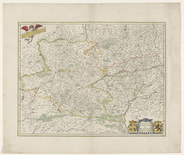
print, engraving
#
baroque
# print
#
landscape
#
engraving
Dimensions: height 412 mm, width 521 mm
Copyright: Rijks Museum: Open Domain
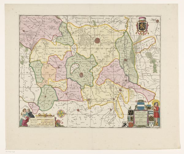
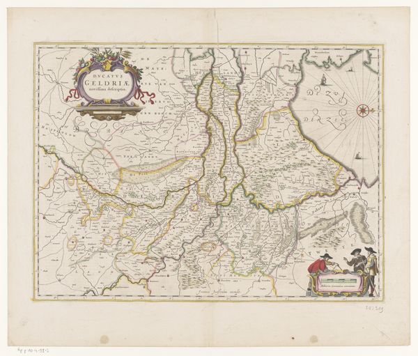
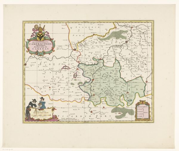
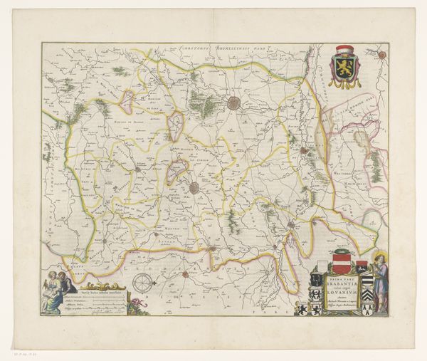
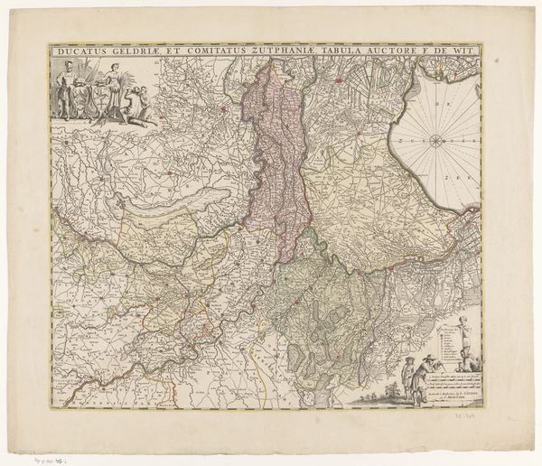
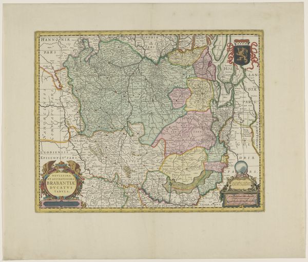
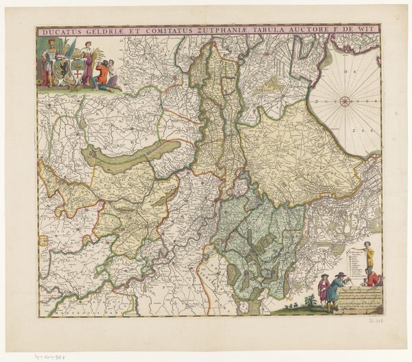
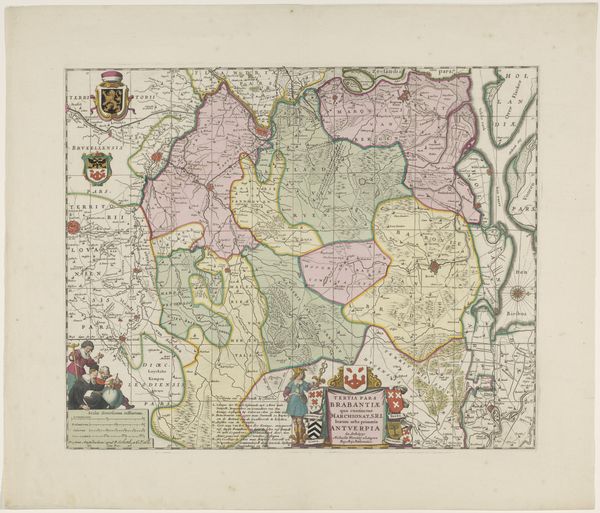
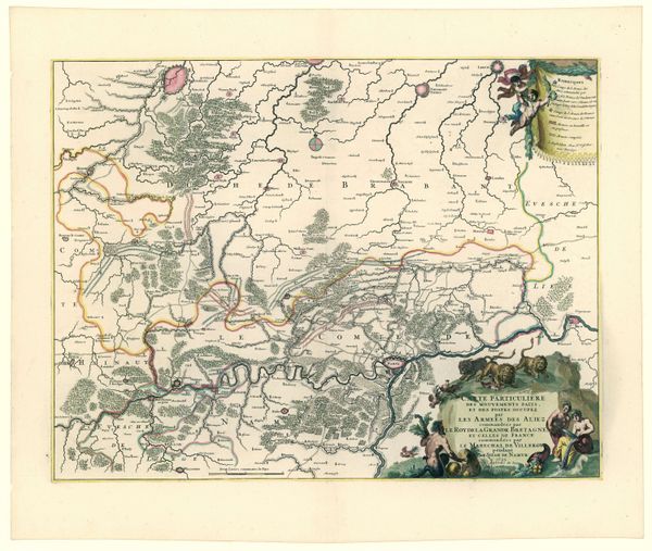
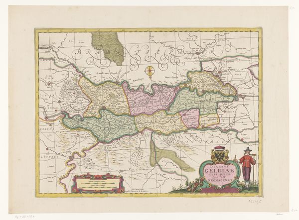
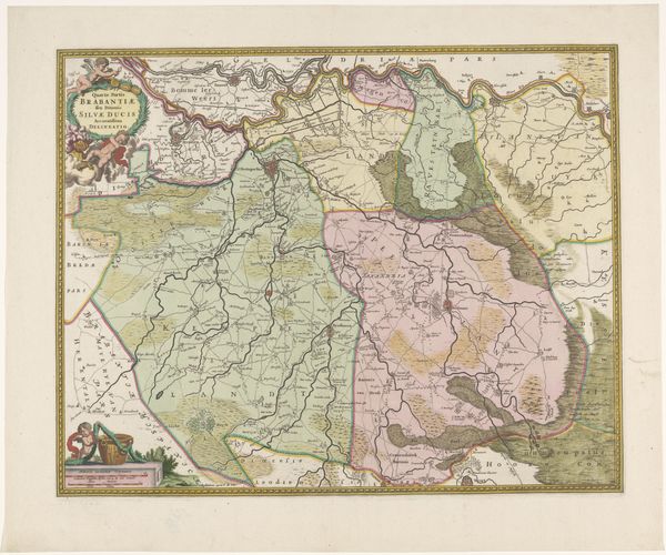
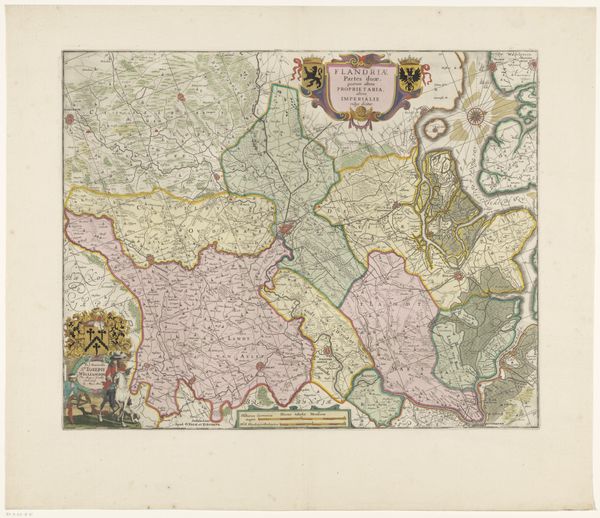
This is an anonymous map of the county of Namur. A rampant lion dominates the lower heraldic cartouche, a symbol of courage, nobility, royalty, and stateliness. Consider its echoes across time, from ancient Mesopotamian lion imagery associated with royalty to its adoption in countless European coats of arms. The lion's image has undergone continual shifts. What was once a symbol of raw power becomes associated with the aristocracy and virtues of leadership. Note the compass rose in the top right, held by a figure who measures the land. From antiquity, the compass has signified orientation, exploration, and the human desire to chart the unknown. But the rose, a symbol of both earthly beauty and spiritual perfection, also reminds us of our own position in the cosmos. The emotional weight of these symbols is not static but dynamic. This map invites us to contemplate how symbols carry within them not just history, but the very pulse of human striving. They evolve, adapt, and resurface, perpetually reshaping our understanding of ourselves and the world.
Comments
No comments
Be the first to comment and join the conversation on the ultimate creative platform.

