graphic-art, print, engraving
#
graphic-art
#
aged paper
#
medieval
# print
#
old engraving style
#
landscape
#
retro 'vintage design
#
cityscape
#
history-painting
#
engraving
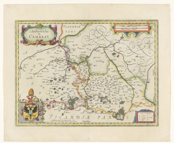
Dimensions: height 332 mm, width 488 mm
Copyright: Rijks Museum: Open Domain
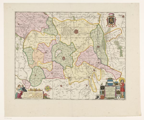
This is an anonymous map of the Archdiocese of Cambrai, made without a known date. It is a reminder that the creation and interpretation of maps are deeply embedded in social and institutional histories. Produced in the Netherlands, this map presents more than just geographical data. Notice the elaborate cartouche, the coat of arms, and the finely dressed figures in the corner. These visual elements speak to the cultural values and the power structures of the time. How did religious institutions exert their influence? What role did maps play in asserting territorial claims? The historian approaches this map not merely as a record of geographical knowledge but as a cultural artifact, looking to period documents, institutional records, and other historical sources to better understand its meaning. For in the end, art's meaning is always contingent on its social and institutional context.
Comments
No comments
Be the first to comment and join the conversation on the ultimate creative platform.
More like this