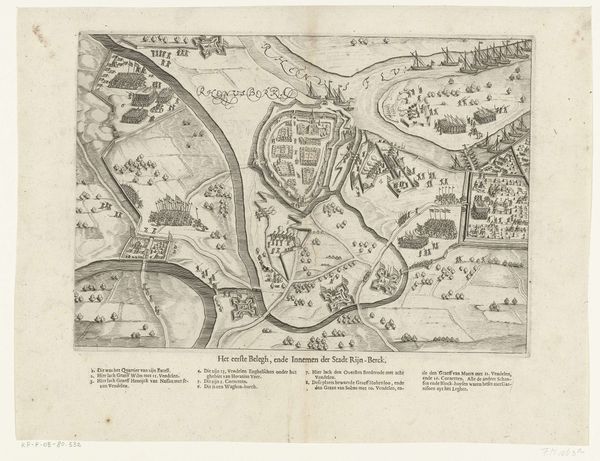
drawing, print, ink, engraving
#
drawing
#
baroque
# print
#
ink
#
cityscape
#
engraving
Dimensions: height 229 mm, width 289 mm
Copyright: Rijks Museum: Open Domain
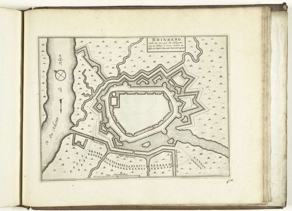
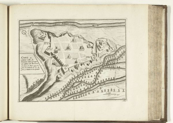
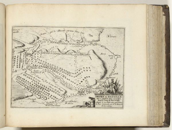
Editor: So this is a map of Mont-Louis, created around 1693 to 1696. It’s an anonymous drawing, a print with both ink and engraving. I find the stark detail fascinating - how the town is meticulously planned, almost like a manufactured object. What catches your eye? Curator: It's a striking example of power rendered through material means. Consider the immense labor and resources needed to manifest such a precisely engineered landscape. Editor: Can you explain that a little bit more? Curator: Think about the social context here. This wasn’t just city planning; it was military engineering under Louis XIV. The print isn't simply an image, but a representation of control, meticulously planned using the available material and human resources. Notice how the surrounding natural elements are almost secondary, forced to conform to this imposed order. What impact do you think the industrial advancements of the time had on this method of production? Editor: I never thought of it that way. The printing press itself being a technological advancement, meant the city's plan, the King's authority, could be disseminated far and wide. It is not simply an image of power, it is an artifact OF power! Curator: Exactly! This interplay between artistic representation, means of production and political agenda is key to understanding the work. We're seeing the birth of a new type of territorial dominance. Editor: That is interesting! I will have to rethink my understanding of 17th-century cartography and labor. Thanks! Curator: A pleasure. Examining the tangible processes often reveals the less visible structures that underpin society.
Comments
No comments
Be the first to comment and join the conversation on the ultimate creative platform.
More like this