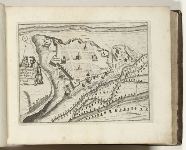
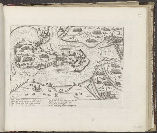
drawing, print, engraving
drawing
baroque
landscape
line
history-painting
engraving
Dimensions: height 197 mm, width 272 mm
Copyright: Rijks Museum: Open Domain
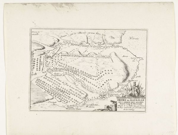
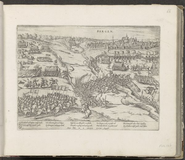
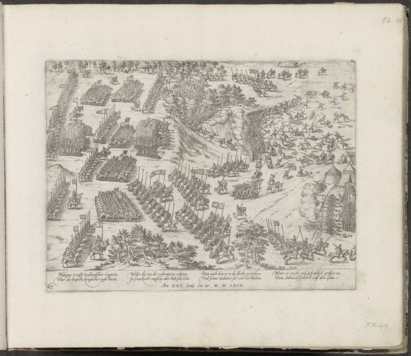
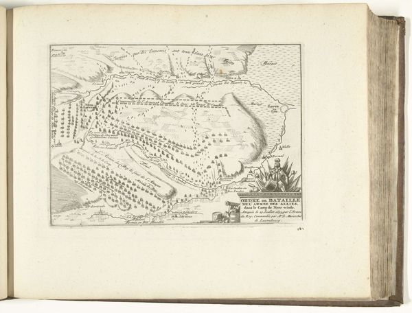
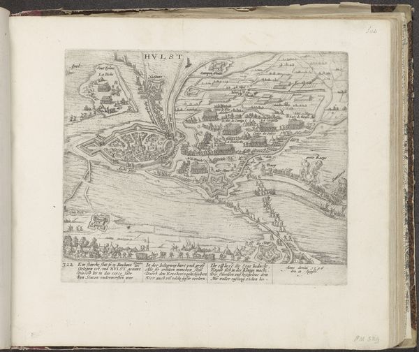
This print, "Slag bij Landen, 1693," now in the Rijksmuseum, was made by an anonymous artist using etching—a printmaking process where lines are incised into a metal plate with acid, then inked and printed. What's fascinating here is the way this technique, usually associated with artistic expression, is applied to military cartography. Look closely, and you'll see how the artist meticulously renders the landscape and troop formations. Each line, each dot, is a deliberate mark that contributes to the overall image of strategic planning and control. The act of etching is slow, laborious and highly skilled. The artist had to be precise and methodical. This is a far cry from the rapid deployment of troops on the battlefield, yet the print mimics a desire to impose order on a chaotic situation, transforming the messy reality of war into a neat, manageable image. Thinking about the material and the making of this print gives us a richer understanding of how knowledge and power were circulated in the 17th century. It shows us how traditional craft techniques could be adapted to serve the interests of the state, blurring the lines between art, propaganda, and historical record.
Comments
No comments
Be the first to comment and join the conversation on the ultimate creative platform.