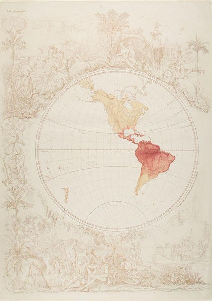
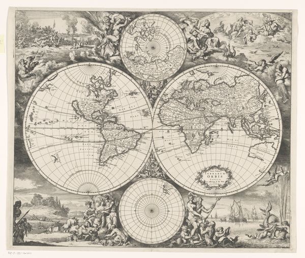
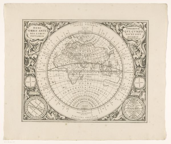
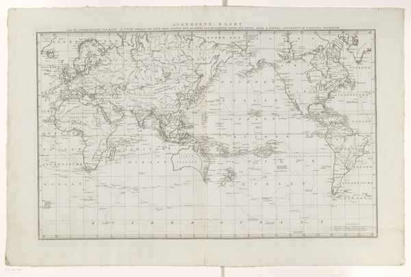
Map of Eastern Hemisphere c. 19th century
Dimensions: image: 57.6 x 43 cm (22 11/16 x 16 15/16 in.) sheet: 60.8 x 43.5 cm (23 15/16 x 17 1/8 in.)
Copyright: CC0 1.0
Editor: This is Eugen Neureuther's "Map of the Eastern Hemisphere". It's a drawing, and the delicate linework makes me think of exploration and a desire to classify the world. What can you tell us about it? Curator: It's fascinating how Neureuther combines cartography with allegorical figures. How do these figures and scenes around the map's border seem to relate to the geographical content itself? What perspectives and power dynamics are being subtly encoded here? Editor: It’s like he's framing the world through a very specific, possibly Eurocentric, lens. Almost like he’s trying to legitimize European exploration. Curator: Exactly. Maps aren’t neutral. They are always products of specific social and historical forces. Understanding that helps us see how knowledge itself can be a form of power. Editor: That's a great point; I never thought about maps that way. Curator: Considering the context allows for a more critical engagement with historical representations.
Comments
No comments
Be the first to comment and join the conversation on the ultimate creative platform.