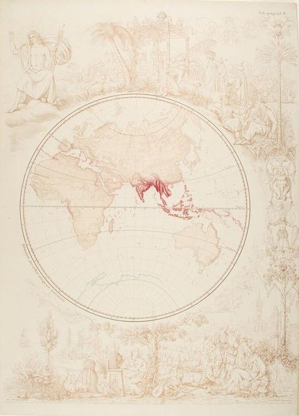
Map of Western Hemisphere c. 19th century
Dimensions: image: 58 x 43 cm (22 13/16 x 16 15/16 in.) sheet: 60.7 x 43.3 cm (23 7/8 x 17 1/16 in.)
Copyright: CC0 1.0
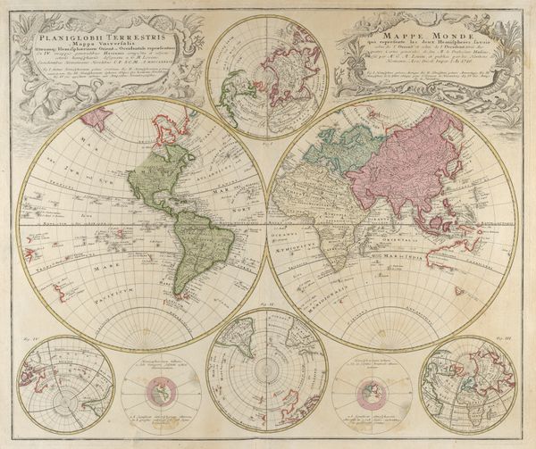
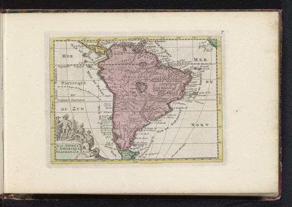
Curator: This is Eugen Neureuther's "Map of the Western Hemisphere." Editor: It looks like a dream. That faded sepia ink and the ethereal figures—like a half-remembered colonial fantasy. Curator: The allegorical figures framing the map certainly evoke that. They represent a romanticized vision of the Americas that underpinned European colonialism. Editor: Exactly. The map itself, the landmasses, become a symbol laden with power, control, and the projection of European desires. The intense red coloring of South America is especially striking. Curator: Yes, that coloration, coupled with the placement within the circular frame, emphasizes a particular visual narrative, a specific claim to territory and resources. Editor: It prompts us to think about how cartography itself is a form of cultural encoding, a language of authority. I'm left considering the legacy and consequences of these encoded views.
Comments
No comments
Be the first to comment and join the conversation on the ultimate creative platform.