#
comic strip sketch
#
pen sketch
#
old engraving style
#
personal sketchbook
#
ink drawing experimentation
#
pen-ink sketch
#
pen work
#
sketchbook drawing
#
storyboard and sketchbook work
#
sketchbook art
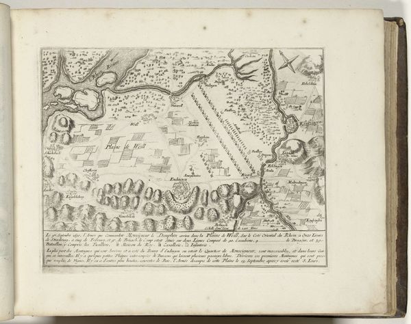
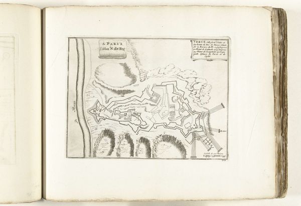
Dimensions: height 199 mm, width 283 mm
Copyright: Rijks Museum: Open Domain
This map of the Trier area, created around 1702 by an anonymous artist, presents a fascinating interplay of form and function through meticulously engraved lines. The eye is drawn to the meandering river, a sinuous line that dictates the composition's structure. The map uses a combination of topographical elements such as the mountains and the clusters of trees. These elements create a sense of depth and spatial relationships. Two cartouches frame the map’s descriptive text, providing formal balance. The map invites reflection on how we represent and understand space. It invites us to consider how such representations not only reflect empirical data but also embed cultural values and systems of knowledge. The formal structure of the map—its lines, shapes, and textual annotations—offers a layered reading of its historical and cultural context.
Comments
No comments
Be the first to comment and join the conversation on the ultimate creative platform.
More like this