drawing, print, etching, paper, ink, engraving
#
drawing
#
medieval
# print
#
etching
#
paper
#
ink
#
geometric
#
cityscape
#
engraving
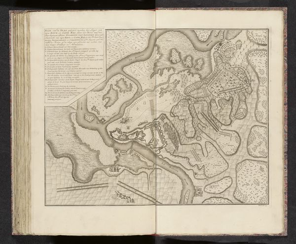
Dimensions: height 178 mm, width 248 mm
Copyright: Rijks Museum: Open Domain
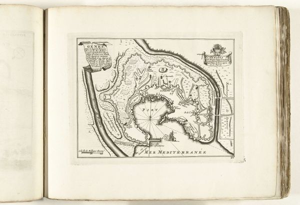
This is an ink drawing titled "Plattegrond van Philippsburg," made around 1695 by an anonymous artist. Its composition, built upon complex geometry, initially presents itself as an objective representation of space, yet closer inspection reveals a sophisticated interplay between form and function. Observe how the star-shaped fortifications dominate the landscape. The lines, precise and deliberate, define the boundaries of power and control, while the river acts as both a natural barrier and a strategic element. The map's structure isn't just about geographical accuracy; it embodies a worldview where order and defense are paramount. The visual language of this map uses geometric forms to convey the strategic importance and perceived invincibility of the city. Consider how the artist uses the map's formal elements to communicate ideas about territory, security, and the human desire to impose structure on the natural world. The careful arrangement of lines and shapes transforms a simple geographical depiction into a statement about power, control and human desire.
Comments
No comments
Be the first to comment and join the conversation on the ultimate creative platform.
More like this