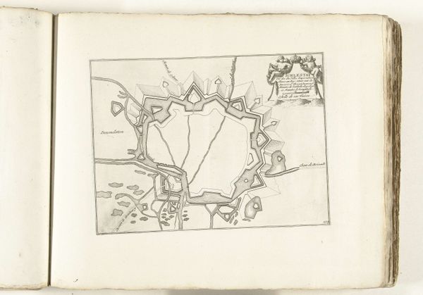
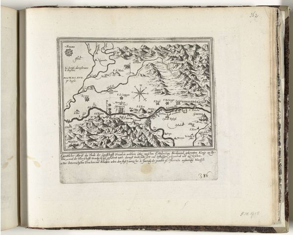
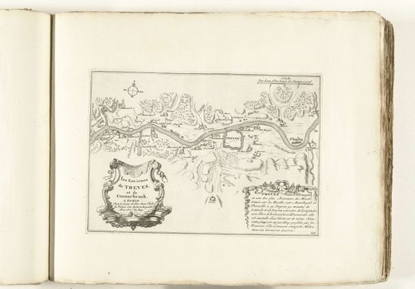
Vier kaarten van steden in Catalonië en Zuid-Frankrijk, ca. 1701-1713 1701 - 1714
0:00
0:00
abrahamallard
Rijksmuseum
drawing, paper, ink
#
drawing
#
baroque
#
pen sketch
#
perspective
#
paper
#
ink
#
geometric
#
cityscape
Dimensions: height 219 mm, width 280 mm
Copyright: Rijks Museum: Open Domain
Editor: This drawing by Abraham Allard, dating from around 1701 to 1714, shows four maps of cities in Catalonia and Southern France. It’s striking how geometric and strategic they seem. What social context informs the reading of Allard's maps? Curator: Exactly. These maps are not merely geographical; they’re inherently political. Consider the War of the Spanish Succession at the time, which engulfed Europe in conflict over territory and power. This imagery served the Dutch Republic's geopolitical ambitions. In what ways could these drawings legitimize such military actions? Editor: Perhaps they offered a detached, rational view of contested spaces. The maps sanitize war, making territorial claims seem almost inevitable. Curator: Indeed. Maps functioned as tools of governance, allowing rulers to visualize and control their domains and expansionist ambitions. These detailed cityscapes reveal an impulse to categorize and survey, literally drawing lines to reinforce boundaries, and hierarchies between the colonizer and colonized. The Baroque style adds a layer of grandeur and authority, doesn't it? Editor: It does. So, while seemingly neutral, these maps actively participated in shaping political landscapes, dictating power relations through calculated visual representation. They weren't just reflecting reality; they were constructing it. It makes you think about how cartography and visual culture have always been tied to questions of identity, power, and control. Curator: Precisely! And the ways in which art visualizes power can sometimes perpetuate or challenge certain sociopolitical frameworks. We need to always be mindful that, in this case, seemingly 'objective' tools may conceal agendas of colonialism, or cultural dominance. Editor: Thank you! Thinking of it in this context reveals much about how our world came to be. Curator: The past speaks volumes, right? Now we just need to listen closely to how such dialogues reshape the future of artistic thought.
Comments
No comments
Be the first to comment and join the conversation on the ultimate creative platform.
More like this