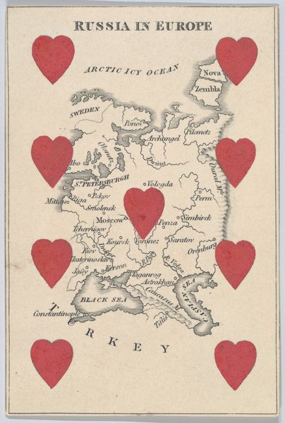
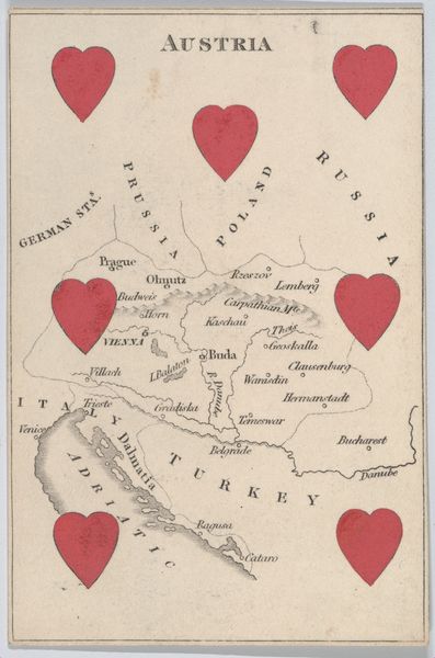
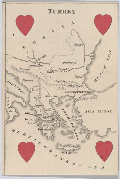
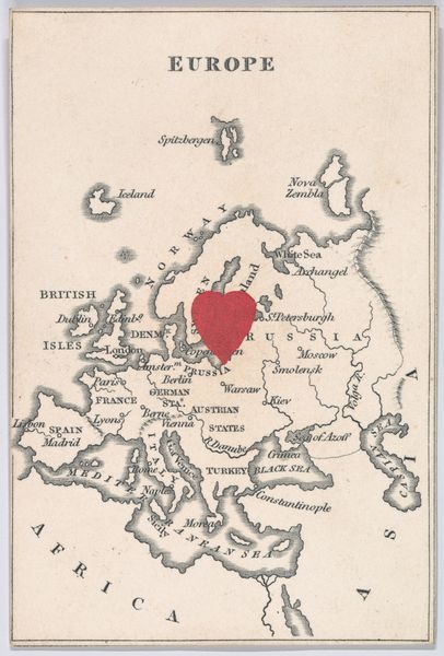
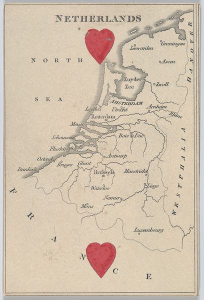
Prussia, from "Court Game of Geography" 1838 - 1855
drawing, print, paper
drawing
landscape
paper
history-painting
Dimensions: 3 3/4 × 2 1/2 in. (9.5 × 6.4 cm)
Copyright: Public Domain
This card, Prussia, from "Court Game of Geography", was printed by William and Henry Rock, lithographers active in London, England. It’s a simple design, just paper and ink, but it opens up a complex world of production. Lithography allowed for the relatively easy reproduction of images, and the Rocks were masters of this method. Notice the clean lines of the map, contrasted with the bright red hearts. The printing process would have involved a division of labor: draftsmen to draw the maps, technicians to prepare the lithographic stones, and press operators to crank out the finished product. These weren’t traditional art materials, but rather the stuff of everyday commerce. Their very availability speaks to the industrialized world of the 19th century, where education was becoming increasingly systematized and commercialized. A seemingly innocent game card, but in its materials and making, it reveals a great deal about the society that produced it. So, when you look at this card, think about the process, the labor, and the context that brought it into being.
Comments
No comments
Be the first to comment and join the conversation on the ultimate creative platform.
More like this