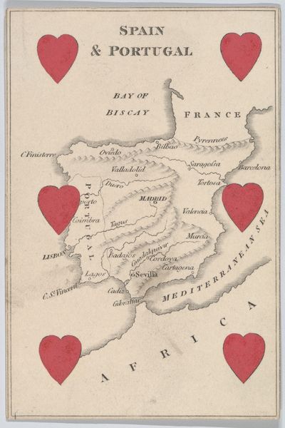
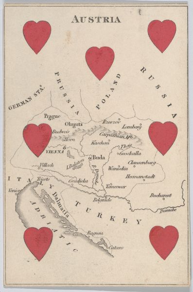
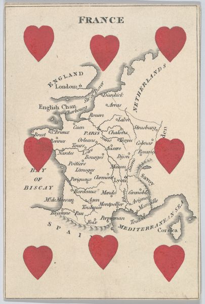
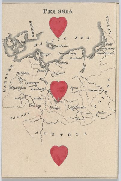
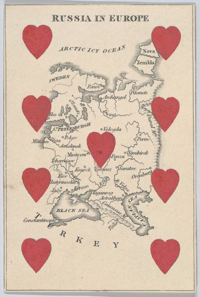
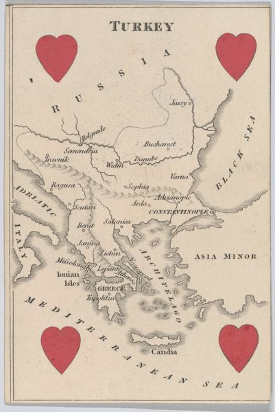
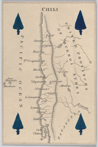
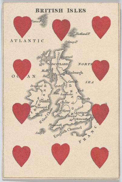
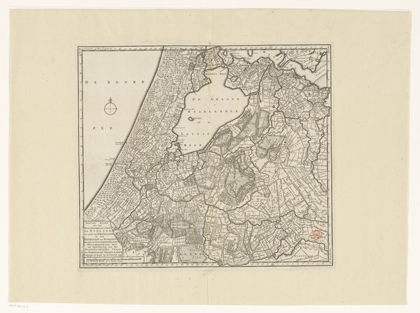
Netherlands, from "Court Game of Geography" 1838 - 1855
drawing, print, paper
drawing
paper
history-painting
Dimensions: 3 3/4 × 2 1/2 in. (9.5 × 6.4 cm)
Copyright: Public Domain
Editor: This is "Netherlands, from \"Court Game of Geography\"" dating from around 1838-1855, by William and Henry Rock. It's a drawing and print on paper, and it feels almost like a playful commentary on cartography. How do you interpret this work? Curator: I see this piece as a potent symbol of national identity construction within a very specific historical context. The use of the heart, repeated at the top and bottom, immediately begs the question: what is being "loved" here, and by whom? Editor: What do you mean? Curator: Well, consider that this map was created during a period of intense nation-building across Europe. Cartography wasn't just about accurately representing land; it was deeply intertwined with political power. How might the Rock brothers be using this seemingly innocent geography game to subtly promote a specific vision of Dutch identity and territorial claims? Notice also that 'France' is included. How does this shape our view of Dutch history? Editor: So, it's not just a game? The way they portray the Netherlands and its relationship to neighboring countries is a political statement? Curator: Precisely. The Netherlands had a complex colonial history, too, which is glossed over here. I'm curious about who would have played this "game" and what values they were implicitly learning about their place in the world. Who gets to define the borders, and who is left outside? These are questions that continue to resonate today. Editor: I never thought about a simple map as having so much embedded meaning. Thanks for showing me how much politics and culture are woven into even the seemingly straightforward depictions. Curator: It’s a crucial reminder that art, in all its forms, always exists within a web of power relations. Understanding those relationships allows us to engage with the work on a much deeper, more meaningful level.
Comments
No comments
Be the first to comment and join the conversation on the ultimate creative platform.
More like this