drawing, graphic-art, print, engraving
#
drawing
#
graphic-art
# print
#
geometric
#
line
#
history-painting
#
engraving
Dimensions: height 186 mm, width 230 mm
Copyright: Rijks Museum: Open Domain
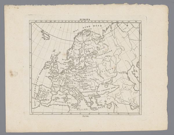
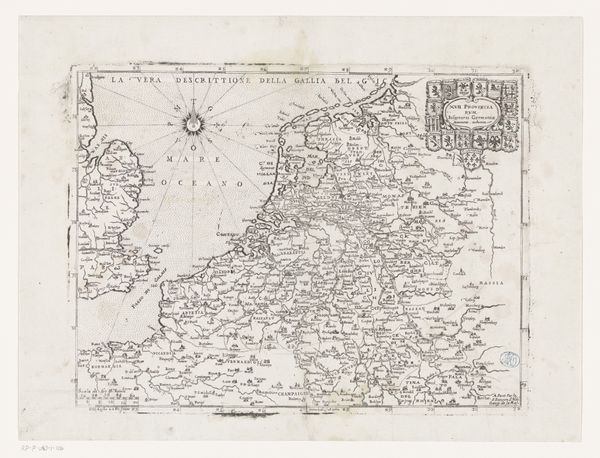
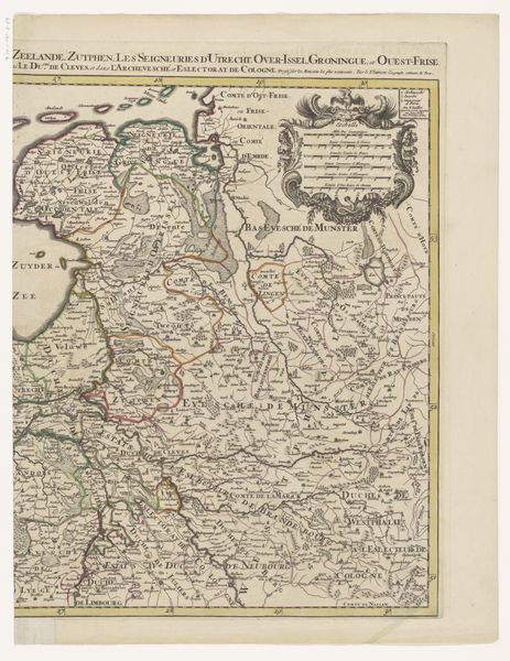
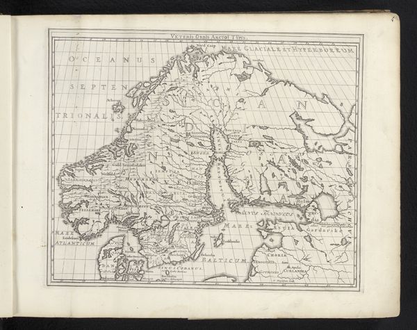
This map of Denmark was printed at an unknown date by an anonymous artist. It is an engraving, meaning the image was incised into a metal plate, likely copper. Ink would have been applied to the plate, then carefully wiped from the surface, remaining only in the etched lines. The plate and paper would have been pressed together, transferring the ink and creating the print. The pressure of the printing process would have left a slight indentation on the paper, a testament to the labor involved. The act of engraving requires immense skill. Each line, each name, each border painstakingly etched with specialized tools. The map then, is more than just a geographical document. It represents an enormous investment of time and skill, both materializing a sense of place and demonstrating the engraver's virtuosity. Consider, too, the social context of mapmaking. It played a crucial role in trade, exploration, and military strategy. This map thus speaks to a wider world of commerce and political ambition, reflecting the cultural values of its time.
Comments
No comments
Be the first to comment and join the conversation on the ultimate creative platform.
More like this