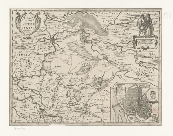
drawing, print, paper, ink, pen, engraving
drawing
pen drawing
dutch-golden-age
landscape
paper
ink
pen
genre-painting
engraving
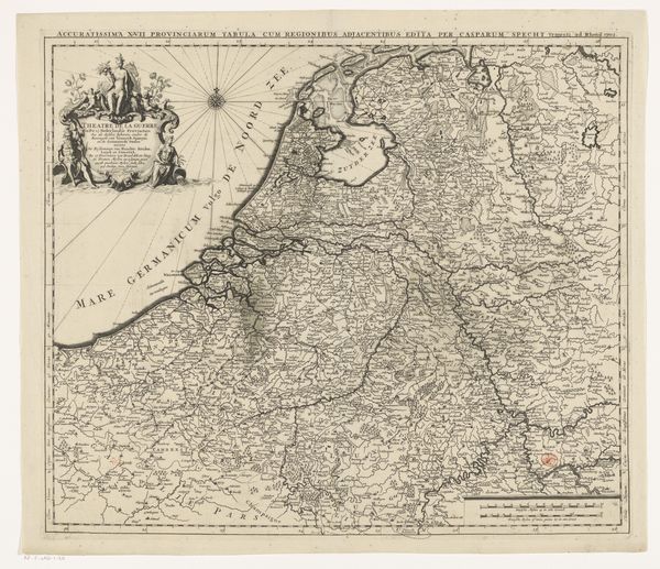
Dimensions: height 394 mm, width 547 mm
Copyright: Rijks Museum: Open Domain
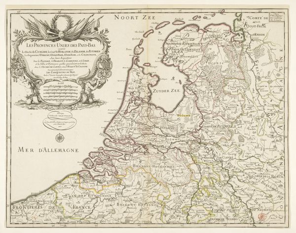
This is N. Michu’s map of the Republic of the Seven United Netherlands. The map gives us a detailed snapshot of the geopolitical landscape of the Netherlands, a region marked by a complex interplay of political, economic, and cultural forces. Consider the historical context: the Republic emerged from a revolt against Spanish rule, a struggle deeply intertwined with religious and economic freedoms. The map not only delineates territories but also subtly asserts the Republic's hard-won sovereignty. The detailed cartography reflects the era’s burgeoning scientific and commercial interests, as the Dutch established vast trade networks. But this prosperity was not without its shadows. The Dutch Golden Age was fueled, in part, by colonial exploitation and the transatlantic slave trade, casting a long shadow over the nation’s narrative of freedom and progress. Reflecting on this map, it is important to consider how these territorial representations can both celebrate national identity, and obscure more complex narratives.
Comments
No comments
Be the first to comment and join the conversation on the ultimate creative platform.
More like this