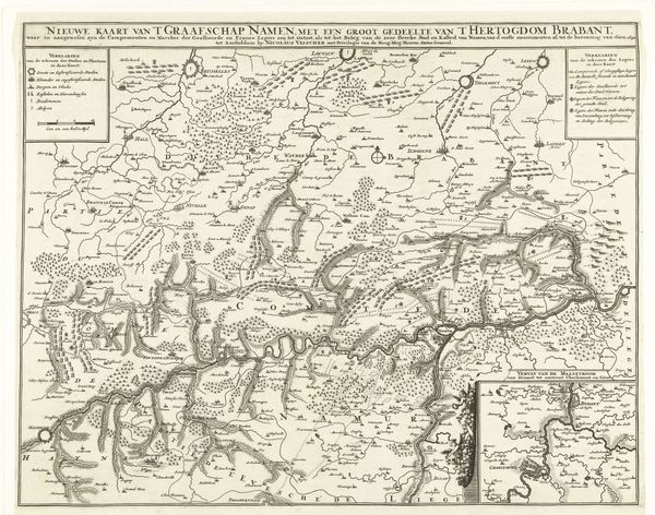
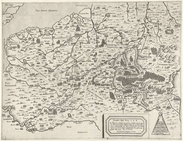
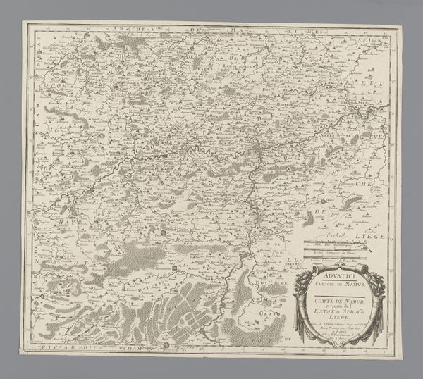
Kaart van het gebied rond de stad Namen, belegerd door het Franse leger, 1692 1692
0:00
0:00
print, engraving
#
baroque
# print
#
ink line art
#
line
#
genre-painting
#
history-painting
#
engraving
Dimensions: height 457 mm, width 606 mm
Copyright: Rijks Museum: Open Domain
This map, made by Robert Cordier around 1692, shows the area around Namur, using ink on paper. Maps like these were crucial tools of statecraft. The detailed rendering of terrain, troop deployments, and fortifications represents a significant investment of time and skill. Cartographers like Cordier were essentially knowledge workers, gathering information, distilling it, and presenting it in a way that could inform military strategy. Note the precision of the line work, the subtle shading to indicate elevation, and the stylized representations of trees and buildings. Each element required careful planning and execution, reflective of the time and labor invested. The printing process itself, probably involving engraving, allowed for multiple copies to be distributed quickly, an early example of mass communication serving military purposes. Consider how the efficiency of this image contrasts with the violence it depicts; and the power dynamic involved in mapping a territory for the purpose of conquest.
Comments
No comments
Be the first to comment and join the conversation on the ultimate creative platform.
More like this