drawing, paper, ink
#
drawing
#
landscape
#
classical-realism
#
perspective
#
paper
#
ink
#
geometric
#
cityscape
#
history-painting
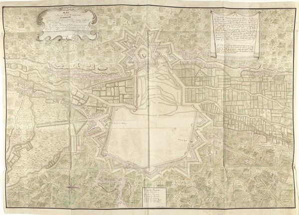
Dimensions: height 454 mm, width 580 mm
Copyright: Rijks Museum: Open Domain
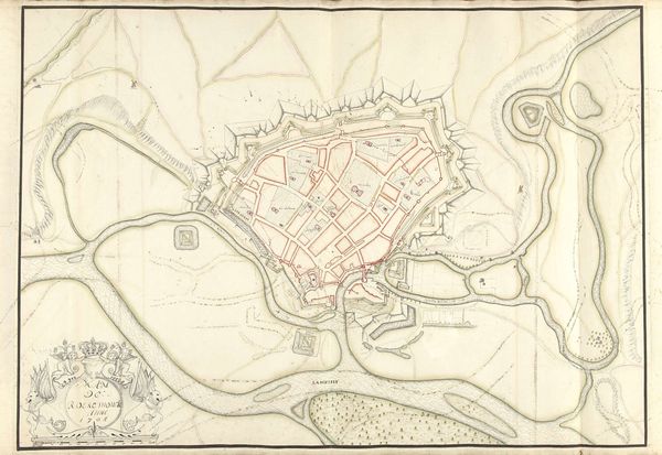
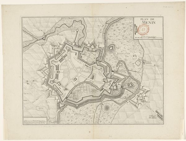
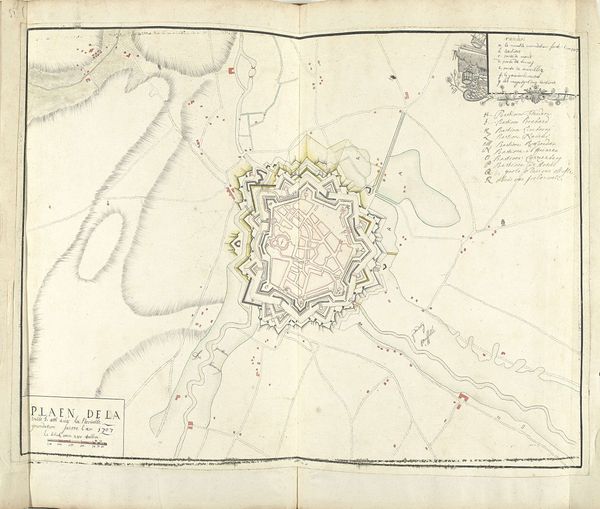
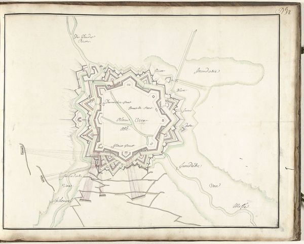
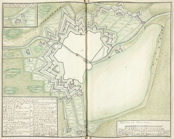
Samuel Du Ry de Champdoré created this 1706 map of Oudenaarde, a town in present-day Belgium, during a tumultuous period marked by the War of the Spanish Succession. Champdoré, born in the Dutch Republic to a family of Huguenot refugees, carried the weight of religious and political displacement. The detailed plan of Oudenaarde reveals more than just geography; it exposes the intricate power dynamics of the time. As a military engineer, Champdoré’s work served the interests of those in power, yet as a member of a displaced religious minority, his own identity was precarious. This map of Oudenaarde is from a time of shifting alliances when the town was under siege. The map illustrates the architecture, while hinting at the social hierarchies and power struggles shaping the lives of ordinary people. Consider the emotional weight carried within this seemingly technical drawing. It’s a stark reminder of the ever-present threat of war, experienced both by those who drew the maps and those who lived within them.
Comments
No comments
Be the first to comment and join the conversation on the ultimate creative platform.
More like this