print, engraving
#
toned paper
#
medieval
#
quirky sketch
# print
#
pen sketch
#
landscape
#
personal sketchbook
#
ink drawing experimentation
#
geometric
#
pen-ink sketch
#
pen and pencil
#
line
#
pen work
#
sketchbook drawing
#
sketchbook art
#
engraving
Dimensions: height 202 mm, width 222 mm
Copyright: Rijks Museum: Open Domain
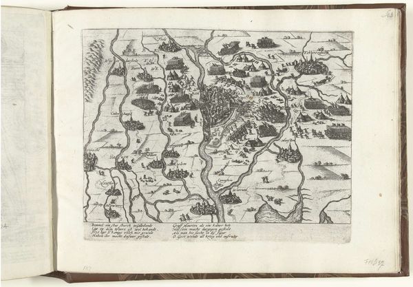
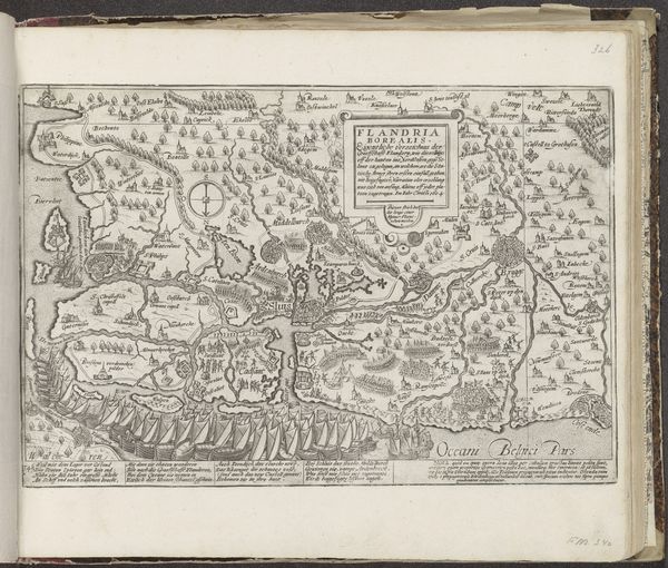
This is Frans Hogenberg’s 1617 map of Friuli, a region in northeast Italy, made with engraving. Hogenberg lived through a tumultuous period marked by religious conflict and political upheaval. His maps, made during the Counter-Reformation, often visualize territories at the intersection of religious and political struggle. This map illustrates the region of Friuli with incredible detail, but it also presents a vision of a world undergoing profound change. The engraver’s lines not only depict mountains, rivers, and settlements, but also speak to the social and political order of the time. Cartography has always been deeply intertwined with power and identity. Maps aren’t just neutral representations of space; they are cultural artifacts that reflect the values, beliefs, and aspirations of their creators and users. They create a sense of belonging, but also demarcate boundaries and define who is included or excluded. Consider how maps like this one played a role in shaping our understanding of the world, and how they continue to influence our perceptions of identity, territory, and belonging today.
Comments
No comments
Be the first to comment and join the conversation on the ultimate creative platform.
More like this