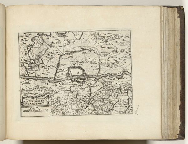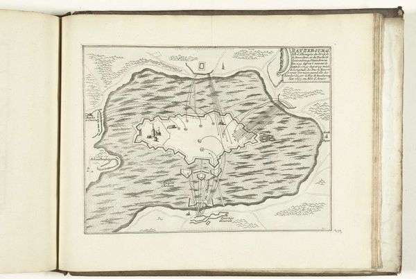
1726
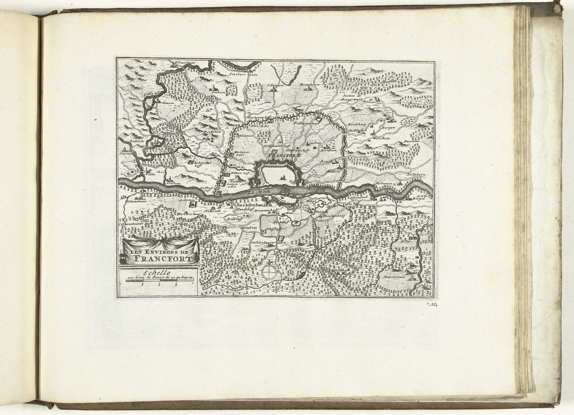
Kaart van de omgeving van Frankfurt am Main, 1726
Anonymous
@anonymousLocation
RijksmuseumListen to curator's interpretation
Curatorial notes
Editor: Here we have a rather detailed map, "Kaart van de omgeving van Frankfurt am Main, 1726," created in 1726 by an anonymous artist. It's an engraving, held at the Rijksmuseum. It strikes me as incredibly precise, almost like looking at an aerial view, but rendered with such deliberate, painstaking work. What catches your eye? Curator: The sheer commitment to detail, certainly. Maps like these aren't just about geographic accuracy. Imagine the world opening up for someone back then, just by looking at it. It is like a little peek into their dreams of places to see. But also consider that this map frames a specific worldview—what's included, what's emphasized, what's left out… It speaks volumes, doesn’t it? What does it make *you* dream about? Editor: Well, the amount of tiny trees is astounding, I would go nuts having to draw all that, so for me, the dedication is really interesting and speaks to how artists may want to include nature as something very central and almost overpowering of the landscape, what do you think of that? Curator: Ah, an interesting reading! See those clustered forests; they're more than just landscape; they hint at resources, ownership, power. The forest isn't just beautiful, it is also an asset to claim, control, fight for. You start seeing the layers. Look closely – are there settlements nestled deeper in those woods? And what are the borders these natural features create or define? Editor: Oh, I didn’t catch that; thanks. I’m going to have to look at maps in a different light from now on. Curator: And that’s how art reshapes us! Every little scratch and wiggle becomes another layer of meaning... Wonderful!