drawing, print, paper, ink, engraving
#
drawing
#
baroque
# print
#
pen sketch
#
paper
#
ink
#
engraving
#
realism
Dimensions: height 233 mm, width 278 mm
Copyright: Rijks Museum: Open Domain
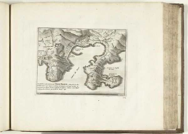
Here we have Abraham Allard’s map of Vigo, dating from around 1701 to 1713, rendered with ink on paper. The eye is drawn to the stark contrast between the intricate, jagged coastline and the open expanse of the Atlantic. This tension between detail and void creates a sense of both precision and the unknown. Allard employs a semiotic system where lines and text aren’t just descriptive, but symbolic. Each mark signifies a real-world counterpart, yet transforms it into an abstract representation. The map's structure embodies the era's quest to codify and control space, reducing the world to a set of signs and signifiers. Notice how the act of mapping itself challenges fixed notions of territory. By translating a fluid reality into a static image, Allard engages with the philosophical problem of representation. The map is a cultural artifact that frames how we understand space, power, and our place within the world. Ultimately, this work underscores the point that maps are not neutral reflections, but constructed interpretations of reality.
Comments
No comments
Be the first to comment and join the conversation on the ultimate creative platform.
More like this