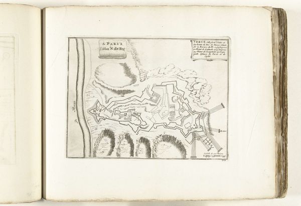
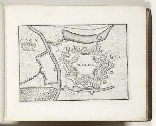
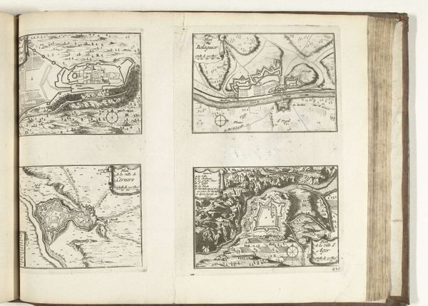
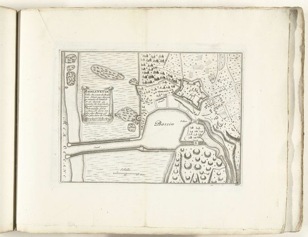
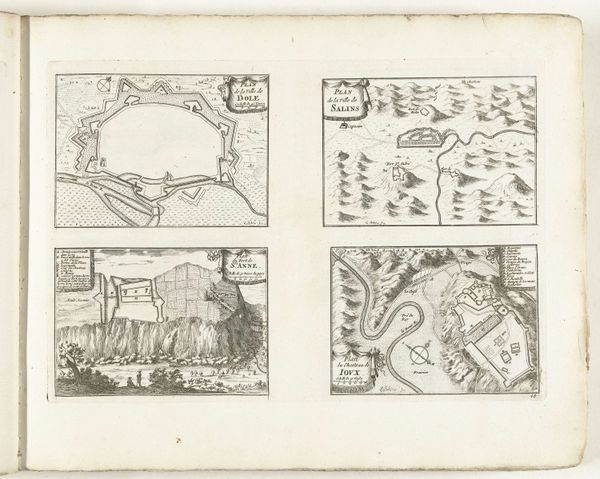
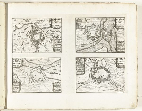
drawing, print, ink, engraving
drawing
baroque
landscape
ink
geometric
line
cityscape
engraving
Dimensions: height 179 mm, width 275 mm
Copyright: Rijks Museum: Open Domain
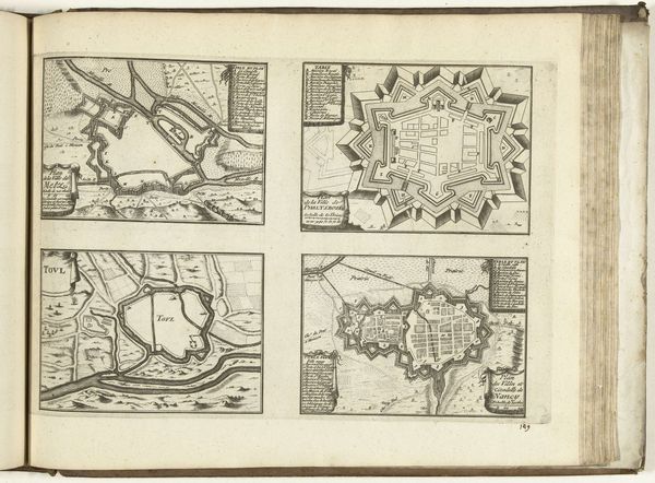
This is an anonymous map of Philippsburg, created in 1726, and held at the Rijksmuseum. The map offers us a glimpse into the world of the early 18th century, a period marked by territorial disputes and military strategy. The detailed rendering of the city’s fortifications, complete with star-shaped walls and strategic outposts, speaks volumes about the priorities of the time: security, control, and the ever-present threat of invasion. It also reflects the complex social dynamics of the era. Who lived within these walls? Who was excluded? What did it mean to be a citizen, or a soldier, in a fortified city like Philippsburg? Consider the emotional weight of living in a place designed for war, the constant awareness of potential conflict. This map, while seemingly objective, is a testament to human ambition, fear, and the enduring quest for power.
Comments
No comments
Be the first to comment and join the conversation on the ultimate creative platform.