drawing, paper, ink, pen
#
drawing
#
aged paper
#
toned paper
#
pen sketch
#
sketch book
#
paper
#
personal sketchbook
#
ink
#
ink drawing experimentation
#
ancient-mediterranean
#
pen-ink sketch
#
pen work
#
sketchbook drawing
#
pen
#
cityscape
#
sketchbook art
Dimensions: height 227 mm, width 288 mm
Copyright: Rijks Museum: Open Domain
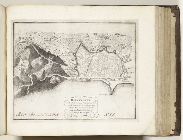
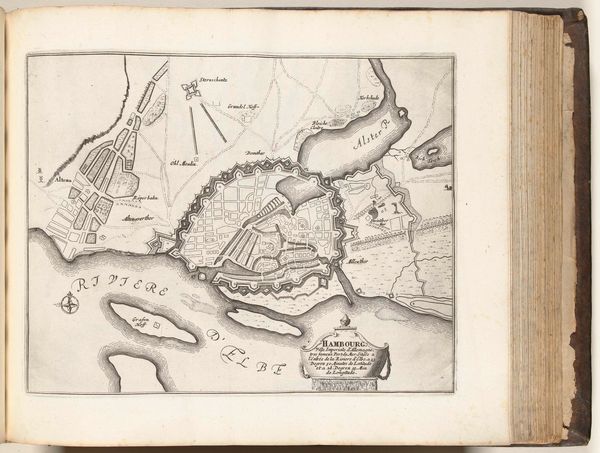
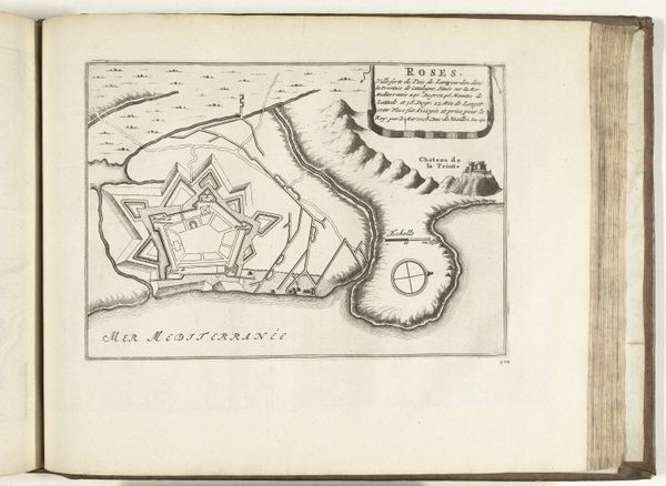
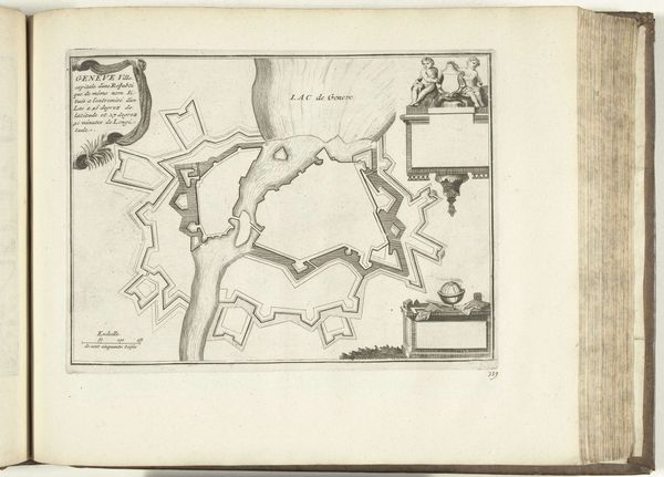
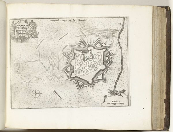
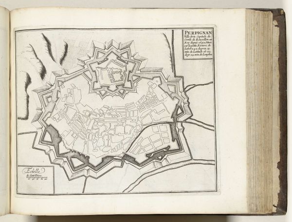
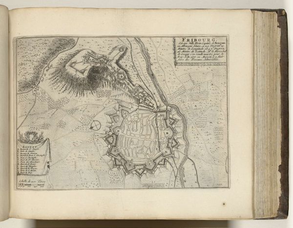
Editor: Here we have "Plattegrond van Collioure," a cityscape drawn around 1693-1696, attributed to an anonymous artist, and rendered in pen and ink on paper. The lines are so delicate. What do you see when you look at this? Curator: I'm immediately drawn to the materiality of this piece. Look at the aged paper, the way the ink sits upon it. It’s not just an image of Collioure, but evidence of a specific production process, a labor of representation tied to the geopolitical realities of the time. Who was commissioned to create this drawing and what was its practical use? Editor: Possibly for military or trade reasons, given its precise detail? The fortress is so prominently displayed. Curator: Precisely. The act of meticulously mapping Collioure, focusing on its fortifications, speaks to power structures, to the control and potential exploitation of resources. Consider also the materials. Paper, ink, pen—they were not neutral tools but commodities within a global trade network. How does thinking about that change our viewing of this piece? Editor: It's easy to just see it as an artifact or representation, but viewing the drawing itself as the product of particular resources gives it new depth. It really highlights the connection between art and material consumption. So it goes beyond simply showing us the cityscape. Curator: Exactly. It prompts us to ask: whose labor went into the making of the materials and the art itself? And whose interests did this representation serve? By considering those factors we acknowledge that seemingly objective maps are in fact ideological constructs. Editor: Thanks, that helps me see it from an entirely different angle, thinking about its construction rather than just its aesthetic. Curator: And it reminds us to continually question the systems that enable artistic production.
Comments
No comments
Be the first to comment and join the conversation on the ultimate creative platform.
More like this