drawing, print, etching, ink
#
drawing
#
baroque
# print
#
pen sketch
#
etching
#
ink
#
cityscape
Dimensions: height 230 mm, width 292 mm
Copyright: Rijks Museum: Open Domain
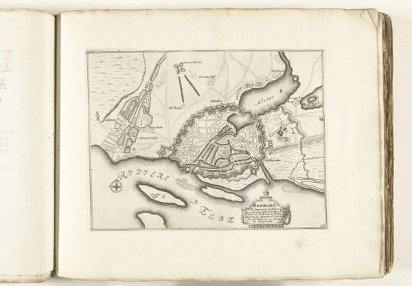
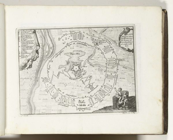
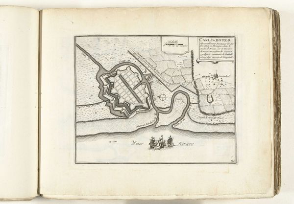
This is an anonymous etched map of Hamburg, made around 1693 to 1696. It shows us not just the physical layout of the city, but also its ambitions and anxieties. Look at the fortifications. The walls, moats, and bastions speak to a time of frequent conflict, when cities needed to defend themselves. The map isn't just a representation of space, it’s a statement of power and security. The city is presented as an impregnable fortress, ready to withstand any siege. This image presents Hamburg as a self-governing city-state within the Holy Roman Empire. To fully understand this map, we need to delve into Hamburg's history. The city's wealth came from trade, and its independence was fiercely guarded. Maps like these were not just navigational tools, but also symbols of civic pride and declarations of sovereignty. By studying archives and other historical documents, we can understand the social conditions that shaped this image. Remember that art, even a map, is always a product of its time.
Comments
No comments
Be the first to comment and join the conversation on the ultimate creative platform.
More like this