graphic-art, print, engraving
#
graphic-art
#
baroque
# print
#
old engraving style
#
cityscape
#
engraving
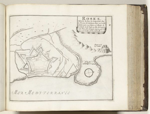
Dimensions: height 195 mm, width 277 mm
Copyright: Rijks Museum: Open Domain
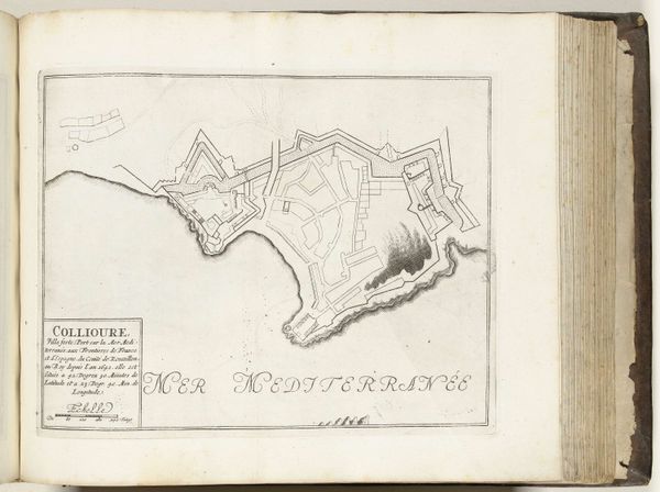
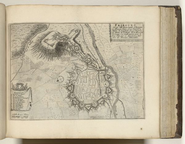
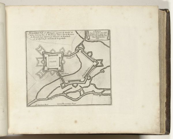
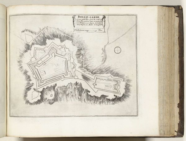
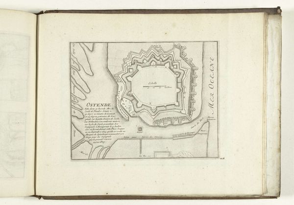
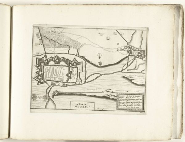
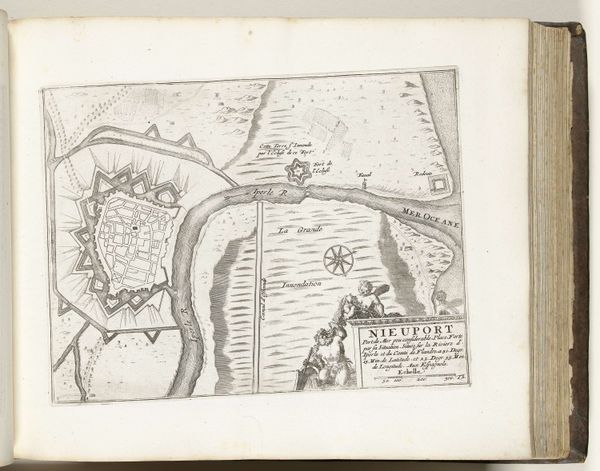
This is an anonymous engraving from 1726, depicting the city of Rosas. The dominant image is the star fort, a design that emerged in the 15th century to defend against cannon fire. This symbol is not new, however. It has roots in ancient diagrams, such as the Vitruvian Man, which similarly sought to impose geometric order on the chaos of the world, revealing our human desire to control and understand our environment. We see the star motif reappearing throughout history, not only in military architecture but also in art and heraldry, often representing guidance and protection. Such shapes speak to a deep, subconscious need for safety. They remind us of the cyclical nature of human endeavors – our constant effort to defend ourselves from danger, whether real or imagined. The fort's design suggests a psychological as much as a physical barrier, reflecting a collective anxiety and the hope for resilience. It's a historical echo that subtly influences our perception of space and security.
Comments
No comments
Be the first to comment and join the conversation on the ultimate creative platform.
More like this