print, engraving
#
baroque
# print
#
geometric
#
line
#
cityscape
#
engraving
Dimensions: height 229 mm, width 290 mm
Copyright: Rijks Museum: Open Domain
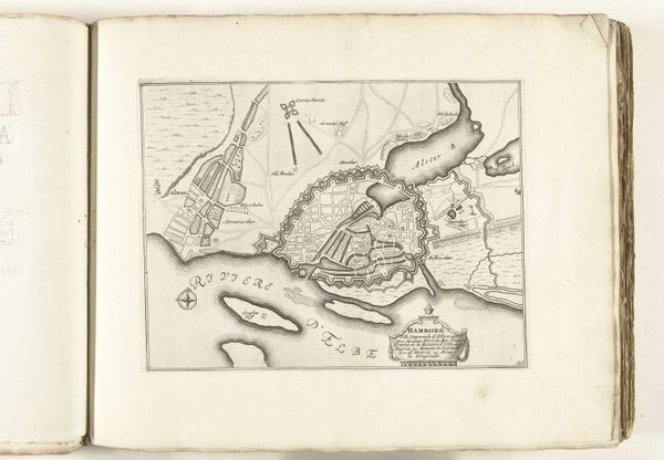
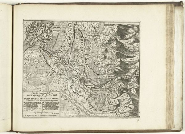
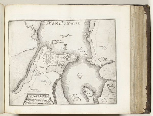
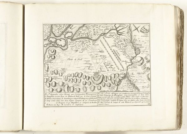
This map of Barcelona was made anonymously between 1693 and 1696, rendered in ink on paper. Engraving like this was a highly skilled, laborious process. The mapmaker would have used specialized tools to carve lines into a metal plate, creating an image in reverse. Ink was then applied, and the plate pressed onto paper, transferring the design. The density of lines in the map speaks to the time and care involved. Look at the shading of the Mont Juïc mountain range, or the intricate street plan within the walled city. Each line carefully etched by the artist’s hand. These maps were vital for military strategy, urban planning, and commerce. The ability to reproduce and disseminate visual information was crucial to early modern society and the rise of the merchant classes. This map underscores how techniques of craft were essential to the political and economic forces shaping the world. It challenges our ideas of art, craft, and labor.
Comments
No comments
Be the first to comment and join the conversation on the ultimate creative platform.
More like this