drawing, paper, ink, engraving
drawing
baroque
paper
ink
cityscape
engraving
Dimensions: height 211 mm, width 281 mm
Copyright: Rijks Museum: Open Domain
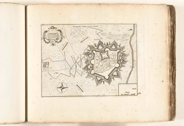
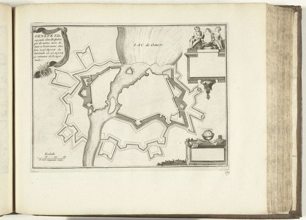
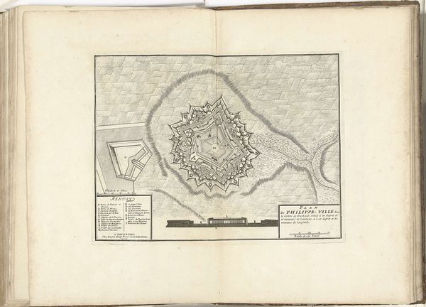
This is an anonymous map of Carmagnola, made around 1695 using engraving. It is part of a book of maps from this period. The image creates meaning through its stark lines and the quasi-scientific aesthetic of cartography. It references the power of military engineering in this period, a time of nearly constant war in Europe. Carmagnola, a town in Piedmont in Italy, had great strategic significance in conflicts between France and the Austrian Habsburgs. The star-shaped fortifications seen here, designed to deflect cannon fire, had been built by the Spanish some decades earlier. The map is therefore a visual record of how military institutions transformed the social and geographical landscape. Historians use maps like this in conjunction with other kinds of documentary evidence to understand military history and its impact. Its meaning is contingent on this wider social and institutional context.
Comments
No comments
Be the first to comment and join the conversation on the ultimate creative platform.