drawing, print, paper, engraving
#
drawing
#
baroque
# print
#
paper
#
cityscape
#
engraving
Dimensions: height 213 mm, width 278 mm
Copyright: Rijks Museum: Open Domain
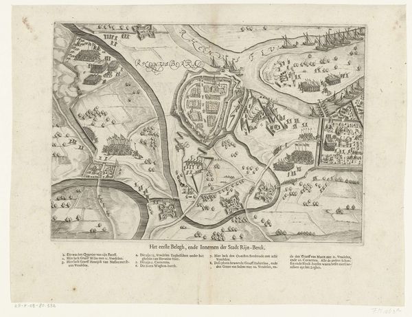
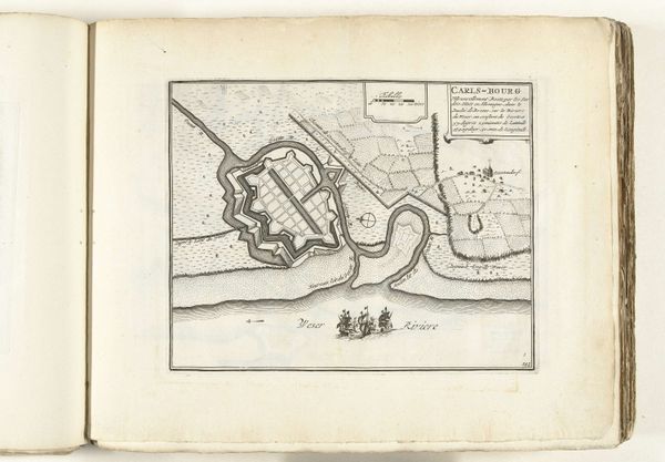
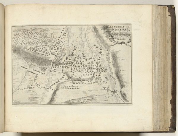
This is a 1726 anonymous map of Nieuwpoort, rendered with ink on paper, and presently held in the Rijksmuseum. Notice the intricate network of lines which give form to this city's layout. The rigid geometry of the fortifications contrasts sharply with the fluid, organic shapes of the natural landscape. This tension between man-made structure and natural form speaks to the period’s attempts to impose order on the world. The map’s visual language, a semiotic system of lines and symbols, presents a calculated view of space. Consider how the cartographer’s choices—the inclusion of certain details, the omission of others—construct a particular narrative about Nieuwpoort. Is it primarily a military stronghold? A center of commerce? Or simply a place? Maps do not just represent space; they also represent power, knowledge, and perspective. The careful hatching and precise lines indicate the prevailing cultural codes of the time.
Comments
No comments
Be the first to comment and join the conversation on the ultimate creative platform.
More like this