print, engraving
#
baroque
# print
#
landscape
#
perspective
#
geometric
#
cityscape
#
engraving
Dimensions: height 248 mm, width 280 mm
Copyright: Rijks Museum: Open Domain
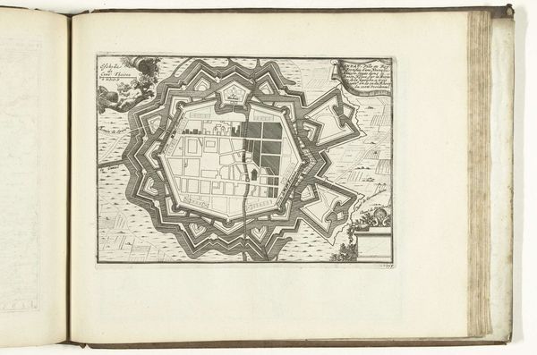
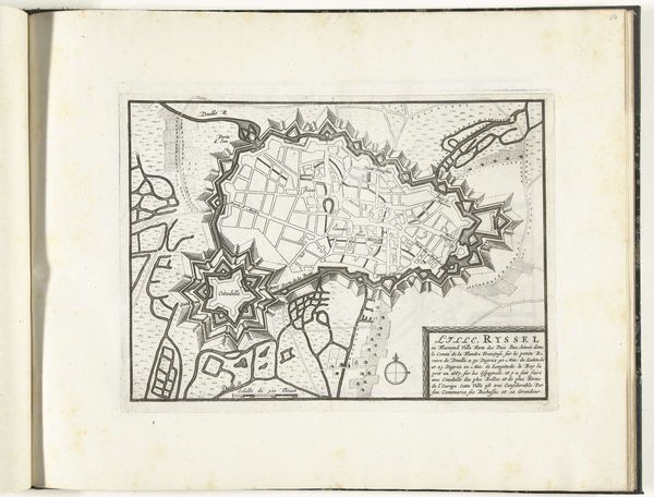
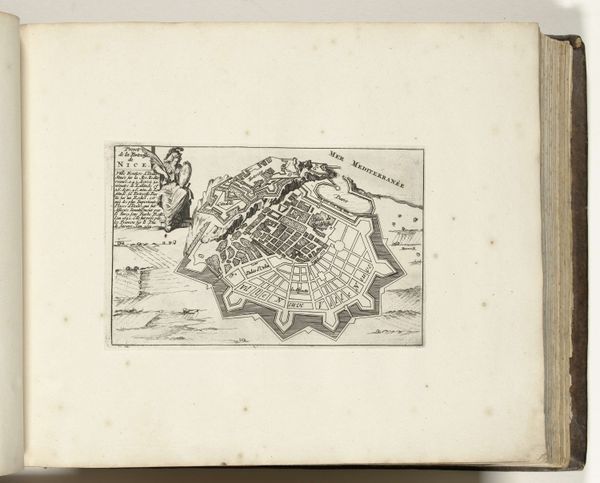
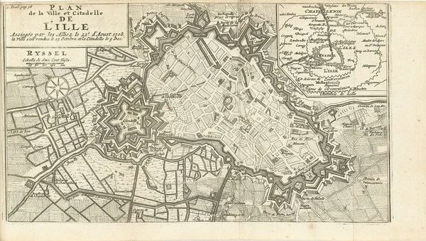
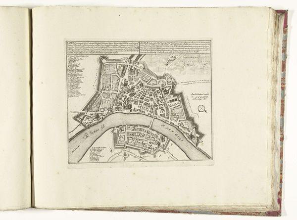
This is Abraham Allard’s ‘Plattegrond van Landau’, an ink drawing of Landau made around 1702. Allard created this map during a period marked by shifting territorial control and military conflict in Europe, particularly the War of the Spanish Succession. Maps like these weren’t just about geography; they were instruments of power. Landau, depicted here, wasn't just a city, but a strategic stronghold whose possession symbolized dominance in the region. Consider the detailed fortifications surrounding the city, which emphasize the importance of defense in a volatile political landscape. Allard seems to be highlighting Landau's dual identity, caught between German and French influence, as reflected in the title's parallel text in both languages. The map then is a record of geopolitical struggle and cultural identity. How does it feel to see a place defined not just by its physical space, but by its role in ongoing conflict?
Comments
No comments
Be the first to comment and join the conversation on the ultimate creative platform.
More like this